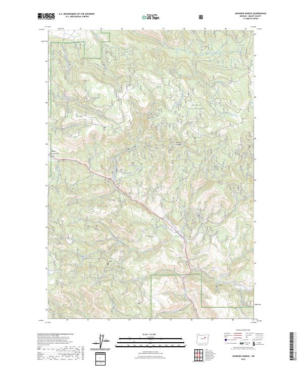
2024 Map of Johnson Saddle
USGS Topo · Published 2024About this map
The high ridges and drainage basins of the Malheur National Forest define this area of eastern Oregon, where the landscape is marked by critical topographic passes and high-altitude water sources. Beech Creek Summit and Johnson Saddle represent key navigation points through the mountainous terrain, serving as natural gateways between the complex networks of local creek systems. These waterways, including Beech Creek, Laycock Creek, and the East Fork Beech Creek, carve through the forest, supported by a variety of named springs such as Cottonwood Spring, Shrier Spring, and Bear Spring. To the southwest, the presence of Tamarack Swamp indicates a rare high-elevation wetland pocket amidst the otherwise steeply contoured timberlands. This map reveals the intricate hydrologic pattern of the region, from the headwaters of Forty Day Creek to the secluded reaches of Murphy Creek.
Find a feature on this map
31 named features on this map. Tap any name to fly to it.
Don’t see what you’re looking for? This feature index may not catch every label — zoom into the map to look around manually.
Map Details
Editions of this 2024 Johnson Saddle Map
This is the sole edition of this map. No revisions or reprints were ever made.
Other maps of this area

1940 · Mount Vernon
USGS Topo · 1:62,500

1940 · John Day
USGS Topo · 1:62,500

1943 · John Day
USGS Topo · 1:62,500

1943 · Mount Vernon
USGS Topo · 1:62,500

1949 · Long Creek
USGS Topo · 1:62,500

1949 · Susanville
USGS Topo · 1:62,500

1951 · Susanville
USGS Topo · 1:62,500

1951 · Long Creek
USGS Topo · 1:62,500

1955 · Canyon City
USGS Topo · 1:250,000

1959 · Canyon City
USGS Topo · 1:250,000