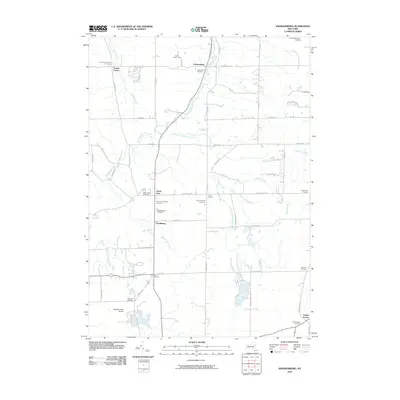
2010 Map of Johnsonburg
USGS Topo · Published 2010About this map
Johnsonburg and North Java anchor this 2010 topographic record of Wyoming County, New York, where the landscape is defined by the headwaters of several critical Western New York drainage systems. The terrain is a network of small crossroads settlements including Toziers Corner, Union Corners, and Southburg, connected by long-established rural routes like Java Lake Rd and Wethersfield Rd. A high density of burial grounds, such as the North Java Pioneer Cemetery and Saint Nicholas Cemetery, provides a wealth of data for family historians tracking the region's 19th-century settler lineage.
Find a feature on this map
56 named features on this map. Tap any name to fly to it.
Don’t see what you’re looking for? This feature index may not catch every label — zoom into the map to look around manually.
Map Details
Editions of this 2010 Johnsonburg Map
This is the sole edition of this map. No revisions or reprints were ever made.
Other maps of this area
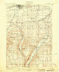
1904 · Batavia
USGS Topo · 1:62,500
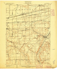
1905 · Attica
USGS Topo · 1:62,500
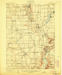
1905 · Portage
USGS Topo · 1:62,500
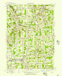
1923 · Arcade
USGS Topo · 1:62,500
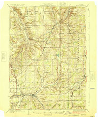
1925 · Arcade
USGS Topo · 1:62,500
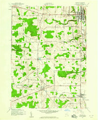
1943 · Warsaw
USGS Topo · 1:24,000
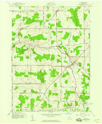
1943 · Pike
USGS Topo · 1:24,000
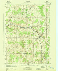
1944 · Pike
USGS Topo · 1:31,680
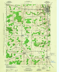
1944 · Warsaw
USGS Topo · 1:31,680
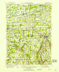
1949 · Attica
USGS Topo · 1:62,500