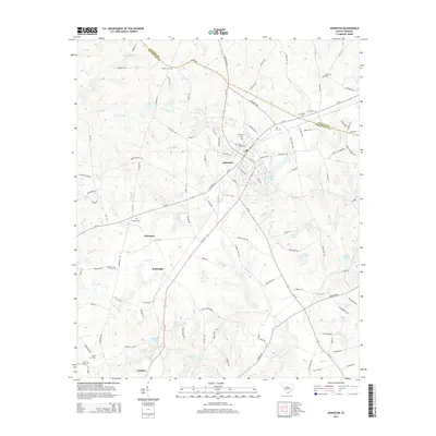
2014 Map of Johnston
USGS Topo · Published 2014About this map
Johnston serves as the central hub of this South Carolina landscape, situated along the crossing of SC 121 and SC 23. The area is defined by a traditional agricultural and residential layout, where family names are etched into the terrain through numerous small burial grounds such as Holmes Cem, Bartley Cem, and Jones Cem. The presence of Mt of Olives Cem and Mt Nebo Cem near the town center suggests a long-standing community core.
Find a feature on this map
121 named features on this map. Tap any name to fly to it.
Don’t see what you’re looking for? This feature index may not catch every label — zoom into the map to look around manually.
Map Details
Editions of this 2014 Johnston Map
This is the sole edition of this map. No revisions or reprints were ever made.
Other maps of this area

1920 · Aiken
USGS Topo · 1:48,000

1921 · Aiken
USGS Topo · 1:62,500

1923 · Warrenville
USGS Topo · 1:48,000

1928 · Warrenville
USGS Topo · 1:62,500

1943 · Aiken
USGS Topo · 1:62,500

1943 · Warrenville
USGS Topo · 1:62,500

1954 · Augusta
USGS Topo · 1:250,000

1957 · Augusta
USGS Topo · 1:250,000

1958 · Augusta
USGS Topo · 1:250,000

1961 · Augusta
USGS Topo · 1:250,000