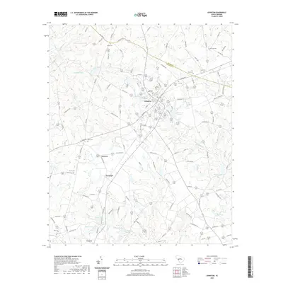
2024 Map of Johnston
USGS Topo · Published 2024About this map
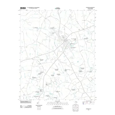
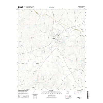
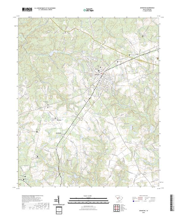
Johnston serves as a central hub in the heart of peach-growing country, situated along the border of Saluda and Edgefield Counties. This contemporary survey reveals a landscape where historic rural settlements like Bouknight and Harmony persist alongside modern water management infrastructure like the Johnston Sc Reservoir. The headwaters of the South Fork Edisto River and tributaries such as Turkey Creek and Hall Branch drain the terrain, which is densely dotted with family and church-affiliated burial grounds. For the genealogist, these include the Marsh Family Cemeteries, Lott Cem, and the Shaws Creek Graveyard associated with Shaws Creek Church. The map illustrates a transition from the structured residential grid of the town out to the larger agricultural tracts and ponds, including Samuels Pond and Holmes Pond, that characterize this region of the South Carolina Midlands.
Find a feature on this map
139 named features on this map. Tap any name to fly to it.
Don’t see what you’re looking for? This feature index may not catch every label — zoom into the map to look around manually.
Map Details
Editions of this 2024 Johnston Map
This is the sole edition of this map. No revisions or reprints were ever made.
Historical Maps of Johnston Through Time
6 maps found