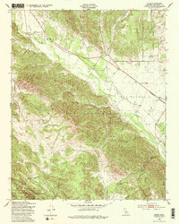
1949 Map of Jolon
USGS Topo · Published 1985About this map
Jolon serves as a central point in this late-1940s landscape, positioned where the San Antonio River valley meets the rising terrain of the Santa Lucia Range. Much of the territory is defined by the Hunter Liggett Military Reservation, which includes the Hunter Liggett Airfield and numerous tactical features like an Observation Post and various Ruins. The mapping reflects a transition between military utility and the wilder reaches of the Los Padres National Forest to the southwest.
Find a feature on this map
30 named features on this map. Tap any name to fly to it.
Don’t see what you’re looking for? This feature index may not catch every label — zoom into the map to look around manually.
Map Details
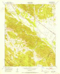
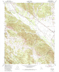
Editions of this 1949 Jolon Map
3 editions found
Other maps of this area

1919 · King City
USGS Topo · 1:62,500

1919 · Junipero Serra
USGS Topo · 1:62,500

1919 · Bryson
USGS Topo · 1:62,500

1921 · Cape San Martin
USGS Topo · 1:62,500

1939 · King City
USGS Topo · 1:62,500

1941 · Cape San Martin
USGS Topo · 1:62,500

1941 · Junipero Serra
USGS Topo · 1:62,500

1941 · Bryson
USGS Topo · 1:62,500

1942 · Bryson
USGS Topo · 1:62,500

1942 · Cape San Martin
USGS Topo · 1:62,500