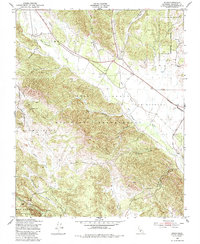
1949 Map of Jolon
USGS Topo · Published 1985About this map
Hunter Liggett Military Reservation dominates this 1949 landscape, illustrating the transition of large historic ranchos like Milpitas and Los Ojitos into military use. The small settlement of Jolon serves as a central hub, situated where Jolon Road and Argyle Road intersect near the San Antonio River. The topography is defined by the sharp contrast between the river valleys and the upland terrain of the Los Padres National Forest, where features such as San Miguelito and Mesa Coyote rise above the drainage of Agua Fria Creek.
Find a feature on this map
30 named features on this map. Tap any name to fly to it.
Don’t see what you’re looking for? This feature index may not catch every label — zoom into the map to look around manually.
Map Details
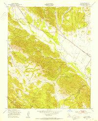
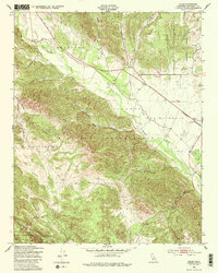
Editions of this 1949 Jolon Map
3 editions found
Other maps of this area

1919 · King City
USGS Topo · 1:62,500

1919 · Junipero Serra
USGS Topo · 1:62,500

1919 · Bryson
USGS Topo · 1:62,500

1921 · Cape San Martin
USGS Topo · 1:62,500

1939 · King City
USGS Topo · 1:62,500

1941 · Cape San Martin
USGS Topo · 1:62,500

1941 · Junipero Serra
USGS Topo · 1:62,500

1941 · Bryson
USGS Topo · 1:62,500

1942 · Bryson
USGS Topo · 1:62,500

1942 · Cape San Martin
USGS Topo · 1:62,500