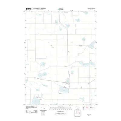
2011 Map of Jones
USGS Topo · Published 2011About this map
The unincorporated community of Jones serves as a central hub in this pocket of Cass County, anchored by the Jones Post Office and the nearby settlement of Corey. The landscape is defined by a dense concentration of glacial lakes and wetlands, including Bair Lake, Corey Lake, and Harwood Lake. This geography has long shaped the local economy and social life, evidenced by the numerous recreational sites such as Camelot Camp Grounds and Lakeside Campground.
Find a feature on this map
39 named features on this map. Tap any name to fly to it.
Don’t see what you’re looking for? This feature index may not catch every label — zoom into the map to look around manually.
Map Details
Editions of this 2011 Jones Map
This is the sole edition of this map. No revisions or reprints were ever made.
Other maps of this area

1914 · Three Rivers
USGS Topo · 1:62,500

1916 · Three Rivers
USGS Topo · 1:62,500

1922 · Schoolcraft
USGS Topo · 1:62,500

1943 · Three Rivers
USGS Topo · 1:62,500

1943 · Schoolcraft
USGS Topo · 1:62,500

1944 · Marcellus
USGS Topo · 1:62,500

1946 · Marcellus
USGS Topo · 1:62,500

1948 · Vandalia
USGS Topo · 1:62,500

1949 · Vandalia
USGS Topo · 1:62,500

1953 · Fort Wayne
USGS Topo · 1:250,000