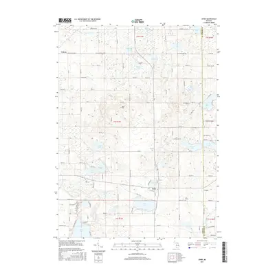
2017 Map of Jones
USGS Topo · Published 2017About this map
Jones and Wakelee anchor this glacial landscape in eastern Cass County, characterized by a dense concentration of kettle lakes and wetlands. The terrain is notably uneven, featuring prominent elevations like Bald Hill and the uniquely named Mt Misery. This 2017 survey details a rural economy shaped by these water bodies, from the larger recreation-oriented Corey Lake and Harwood Lake to smaller basins like Skyhawk Lake and Bogart Lake.
Find a feature on this map
104 named features on this map. Tap any name to fly to it.
Don’t see what you’re looking for? This feature index may not catch every label — zoom into the map to look around manually.
Map Details
Editions of this 2017 Jones Map
This is the sole edition of this map. No revisions or reprints were ever made.
Other maps of this area

1914 · Three Rivers
USGS Topo · 1:62,500

1916 · Three Rivers
USGS Topo · 1:62,500

1922 · Schoolcraft
USGS Topo · 1:62,500

1943 · Three Rivers
USGS Topo · 1:62,500

1943 · Schoolcraft
USGS Topo · 1:62,500

1944 · Marcellus
USGS Topo · 1:62,500

1946 · Marcellus
USGS Topo · 1:62,500

1948 · Vandalia
USGS Topo · 1:62,500

1949 · Vandalia
USGS Topo · 1:62,500

1953 · Fort Wayne
USGS Topo · 1:250,000