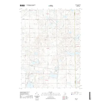
2019 Map of Jones
USGS Topo · Published 2019About this map
Jones and Wakelee anchor this glacial landscape in eastern Cass County, where a dense network of kettle lakes and wetlands defines the local topography. The area's settlement pattern is closely tied to its water resources, with clusters of residential development concentrated around Bair Lake, Harwood Lake, and Corey Lake. The map reveals several important genealogical sites, including the Poe Cem and Lilly Lake Cem, which speak to the generations of families who established the agricultural and lakeside communities here. To the north, Wakelee sits along the Rocky River, while the southern reaches are dominated by the extensive Dr TK Lawless Park and the distinct elevation of Mt Misery. This survey captures a region where recreation at the many lakesides meets a deeply rooted rural infrastructure, evidenced by the numerous local roads like Dutch Settlement Rd and Waterstradt Rd.
Find a feature on this map
74 named features on this map. Tap any name to fly to it.
Don’t see what you’re looking for? This feature index may not catch every label — zoom into the map to look around manually.
Map Details
Editions of this 2019 Jones Map
This is the sole edition of this map. No revisions or reprints were ever made.
Other maps of this area

1914 · Three Rivers
USGS Topo · 1:62,500

1916 · Three Rivers
USGS Topo · 1:62,500

1922 · Schoolcraft
USGS Topo · 1:62,500

1943 · Three Rivers
USGS Topo · 1:62,500

1943 · Schoolcraft
USGS Topo · 1:62,500

1944 · Marcellus
USGS Topo · 1:62,500

1946 · Marcellus
USGS Topo · 1:62,500

1948 · Vandalia
USGS Topo · 1:62,500

1949 · Vandalia
USGS Topo · 1:62,500

1953 · Fort Wayne
USGS Topo · 1:250,000