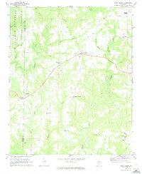
1969 Map of Jones Chapel
USGS Topo · Published 1973About this map
The boundary between Winston Co and Cullman Co runs through the northwestern corner of this area, where the William B Bankhead National Forest covers the drainages of Horsepond Branch and McCain Creek. The landscape is characterized by a dense network of winding creeks, including the deeply etched paths of Crooked Creek and Lick Creek, which define the agricultural and timber lands of north-central Alabama in the late 1960s.
Find a feature on this map
37 named features on this map. Tap any name to fly to it.
Don’t see what you’re looking for? This feature index may not catch every label — zoom into the map to look around manually.
Map Details
Editions of this 1969 Jones Chapel Map
2 editions found
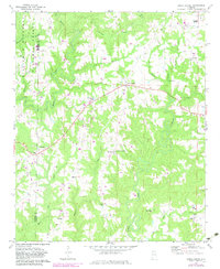
Other maps of this area

1888 · Cullman
USGS Topo · 1:125,000

1892 · Cullman
USGS Topo · 1:125,000

1927 · Falkville
USGS Topo · 1:24,000

1935 · Upshaw
USGS Topo · 1:24,000

1935 · Danville
USGS Topo · 1:48,000

1936 · Mc Kendry
USGS Topo · 1:24,000

1938 · Danville
USGS Topo · 1:62,500

1949 · Falkville
USGS Topo · 1:24,000
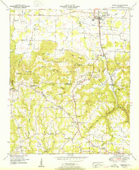
1951 · Falkville
USGS Topo · 1:24,000

1956 · Gadsden
USGS Topo · 1:250,000