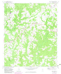
1969 Map of Jones Chapel
USGS Topo · Published 1983About this map
Jones Chapel sits at the center of this rural survey, marking a significant crossroads in the uplands between the Winston Co and Cullman Co line. The landscape is defined by the headwaters of numerous winding waterways, including Crooked Creek and Blevens Creek, which carve deep patterns into the terrain. On the western edge, the dense woodland of the William B Bankhead National Forest provides a distinct contrast to the scattered farmsteads and clearings that characterize the rest of the quadrangle.
Find a feature on this map
31 named features on this map. Tap any name to fly to it.
Don’t see what you’re looking for? This feature index may not catch every label — zoom into the map to look around manually.
Map Details
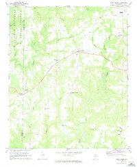
Editions of this 1969 Jones Chapel Map
2 editions found
Other maps of this area

1888 · Cullman
USGS Topo · 1:125,000

1892 · Cullman
USGS Topo · 1:125,000

1927 · Falkville
USGS Topo · 1:24,000

1935 · Upshaw
USGS Topo · 1:24,000

1935 · Danville
USGS Topo · 1:48,000

1936 · Mc Kendry
USGS Topo · 1:24,000

1938 · Danville
USGS Topo · 1:62,500

1949 · Falkville
USGS Topo · 1:24,000
1951 · Falkville
USGS Topo · 1:24,000

1956 · Gadsden
USGS Topo · 1:250,000