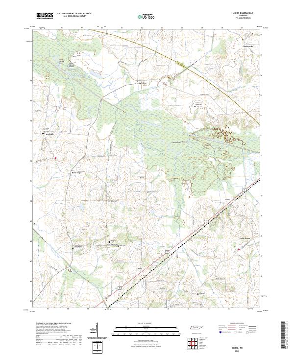
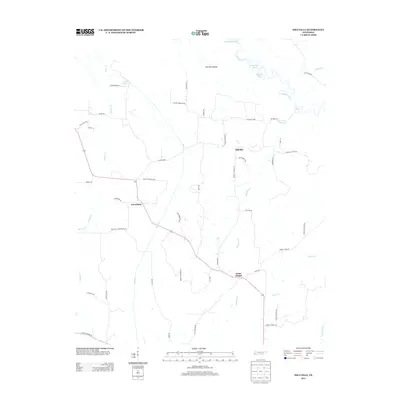
2022 Map of Jones
USGS Topo · Published 2022About this map
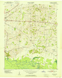
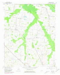
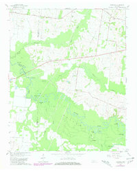
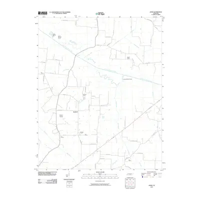
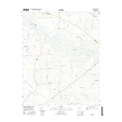
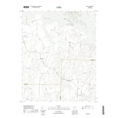
The South Fork Forked Deer River dominates this West Tennessee landscape, carving a wide, wetland-rich path across the boundary between Crockett and Haywood counties. Distinctive landforms such as Island Number Ten, Island Number Eleven, and Island Number Twelve appear within the river's course, surrounded by a network of tributaries including Sandy Slough, Kail Cr, and Nixon Cr. The settlement pattern is characterized by small, distributed communities like Owl City, Belle Eagle, and Jones, which are connected by a grid of rural roads often named for local families.
Find a feature on this map
69 named features on this map. Tap any name to fly to it.
Don’t see what you’re looking for? This feature index may not catch every label — zoom into the map to look around manually.
Map Details
Editions of this 2022 Jones Map
This is the sole edition of this map. No revisions or reprints were ever made.
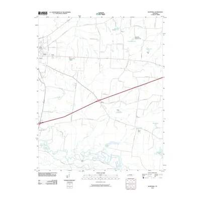
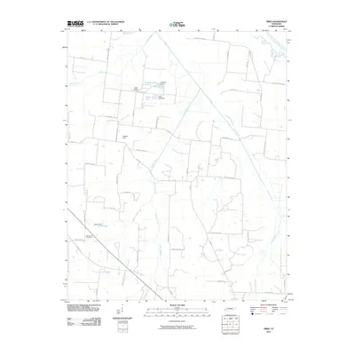
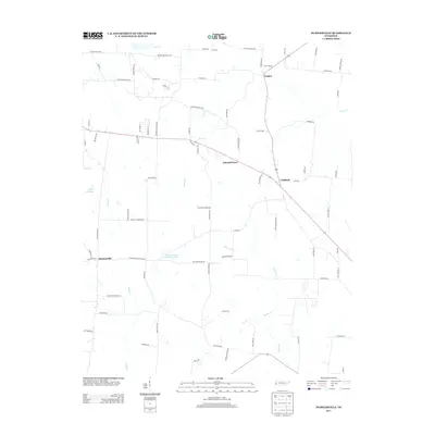
Historical Maps of Jones Through Time
39 maps found
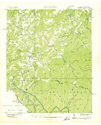
1936 Waterville
Haywood County, TN
1940 Waterville
Haywood County, TN
1950 Sunnyhill
Haywood County, TN
1951 Sunnyhill
Haywood County, TN
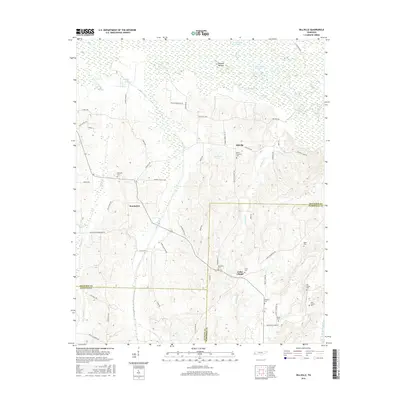
1959 Hillville
Haywood County, TN
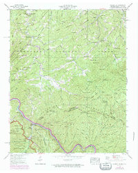
1961 Jones
Haywood County, TN
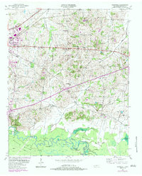
1964 Durhamville
Haywood County, TN
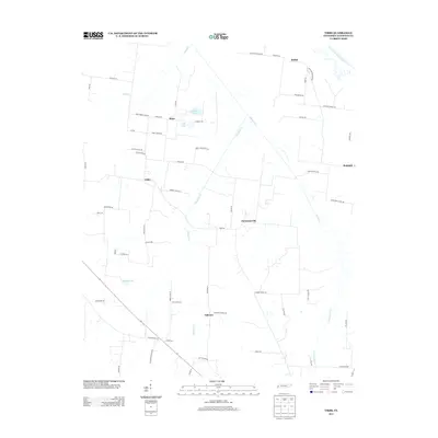
1964 Tibbs
Haywood County, TN
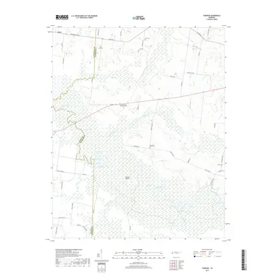
1964 Turnpike
Haywood County, TN
2010 Durhamville
Haywood County, TN
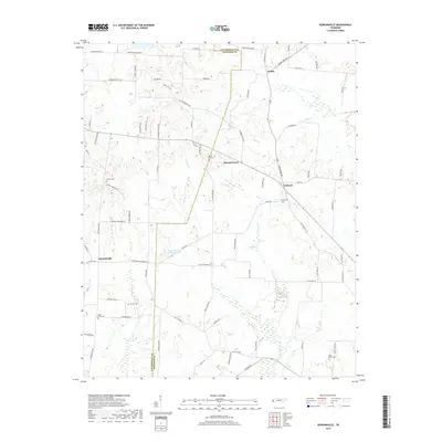
2010 Hillville
Haywood County, TN
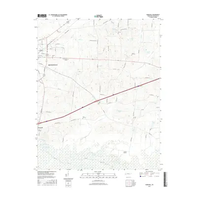
2010 Jones
Haywood County, TN
2010 Sunnyhill
Haywood County, TN
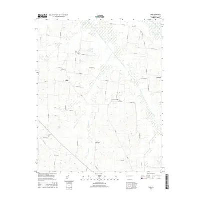
2010 Tibbs
Haywood County, TN

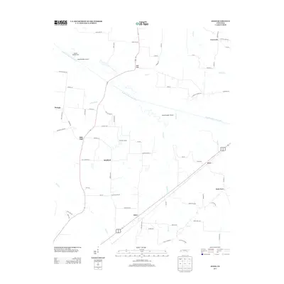
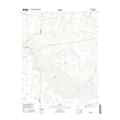
2010 Turnpike
Haywood County, TN
2013 Durhamville
Haywood County, TN
2013 Hillville
Haywood County, TN
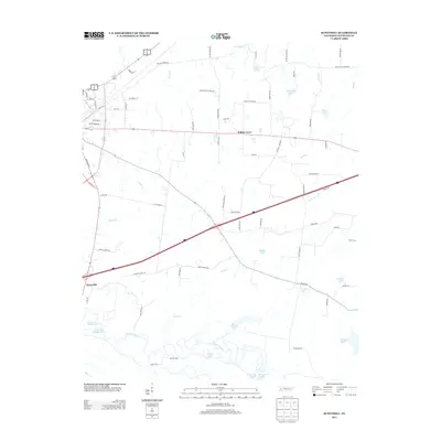
2013 Jones
Haywood County, TN
2013 Sunnyhill
Haywood County, TN
2013 Tibbs
Haywood County, TN
2013 Turnpike
Haywood County, TN
2016 Durhamville
Haywood County, TN
2016 Hillville
Haywood County, TN
2016 Jones
Haywood County, TN
2016 Sunnyhill
Haywood County, TN
2016 Tibbs
Haywood County, TN
2016 Turnpike
Haywood County, TN
2019 Durhamville
Haywood County, TN
2019 Hillville
Haywood County, TN
2019 Jones
Haywood County, TN
2019 Sunnyhill
Haywood County, TN
2019 Tibbs
Haywood County, TN
2019 Turnpike
Haywood County, TN
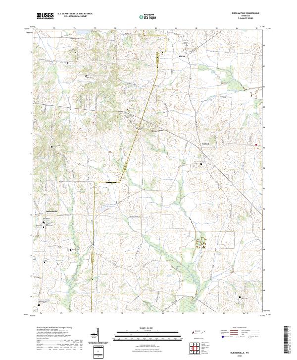
2022 Durhamville
Haywood County, TN
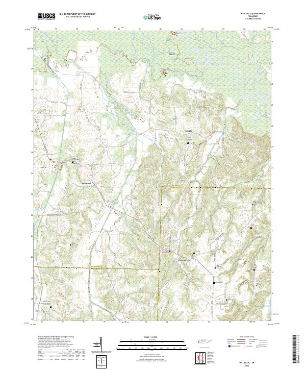
2022 Hillville
Haywood County, TN
2022 Jones
Haywood County, TN
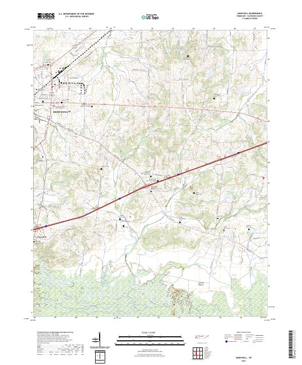
2022 Sunnyhill
Haywood County, TN

2022 Tibbs
Haywood County, TN
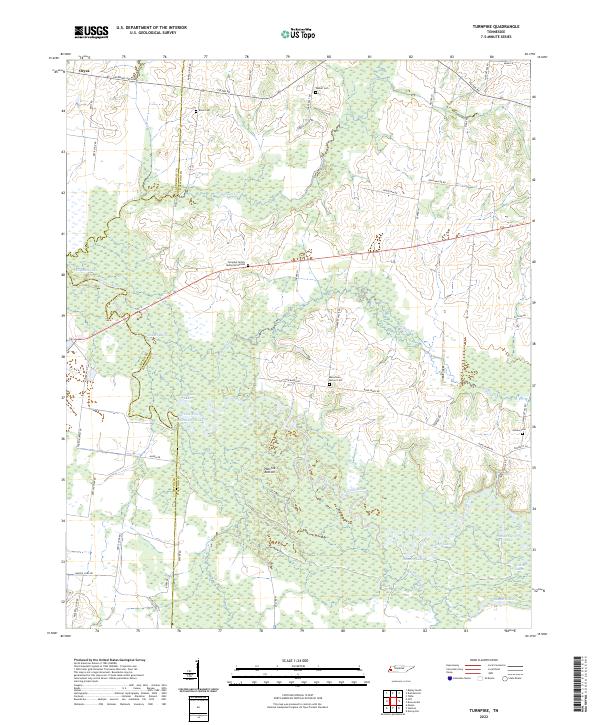
2022 Turnpike
Haywood County, TN