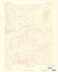
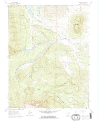
1960 Map of Jones Hill
USGS Topo · Published 1963About this map
Pike National Forest dominates this high-altitude landscape in Park County, where the South Fork South Platte River cuts a wide valley through the peaks. This 1960 survey captures a specific moment of transition between working land and recreation, visible in the presence of the Twelvemile Club and Weston Pass Ranch. The intricate drainage system is well-defined, from the major flow of Twelvemile Creek to the descriptive Tumbling and Rough Creek.
Find a feature on this map
24 named features on this map. Tap any name to fly to it.
Don’t see what you’re looking for? This feature index may not catch every label — zoom into the map to look around manually.
Map Details
Editions of this 1960 Jones Hill Map
5 editions found
Other maps of this area

1889 · Leadville
USGS Topo · 1:125,000

1891 · Leadville
USGS Topo · 1:125,000

1942 · Leadville
USGS Topo · 1:125,000

1953 · Denver
USGS Topo · 1:250,000

1954 · Pueblo
USGS Topo · 1:250,000

1955 · Buena Vista
USGS Topo · 1:62,500

1956 · Garo
USGS Topo · 1:24,000

1956 · Antero Reservoir
USGS Topo · 1:24,000

1956 · Fairplay East
USGS Topo · 1:24,000

1956 · Montrose
USGS Topo · 1:250,000