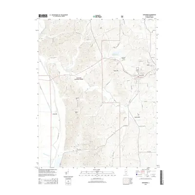
2015 Map of Jonesboro
USGS Topo · Published 2015About this map
The neighboring cities of Anna and Jonesboro anchor this 2015 topography, situated where the rolling hills of the Shawnee National Forest meet the alluvial lowlands of the Mississippi River basin. The landscape is defined by its ridge-and-hollow character, exemplified by landmarks like Atwood Ridge, Hamburg Hill, and the deep Kratzinger Hollow. Smaller rural communities and historic place names such as Berryville, Dutch Mills, and Pottsville are dispersed along a network of winding county roads like Old Willards Ferry Rd and Old Cape Rd.
Find a feature on this map
68 named features on this map. Tap any name to fly to it.
Don’t see what you’re looking for? This feature index may not catch every label — zoom into the map to look around manually.
Map Details
Editions of this 2015 Jonesboro Map
This is the sole edition of this map. No revisions or reprints were ever made.
Other maps of this area

1920 · Jonesboro
USGS Topo · 1:62,500

1920 · Dongola
USGS Topo · 1:62,500

1922 · Carbondale
USGS Topo · 1:62,500

1923 · Dongola
USGS Topo · 1:62,500

1923 · Jonesboro
USGS Topo · 1:62,500

1924 · Alto Pass
USGS Topo · 1:62,500

1941 · Carbondale
USGS Topo · 1:62,500

1947 · Jonesboro
USGS Topo · 1:62,500

1947 · Alto Pass
USGS Topo · 1:62,500

1947 · Mc Clure
USGS Topo · 1:24,000