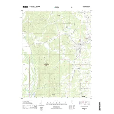
2018 Map of Jonesboro
USGS Topo · Published 2018About this map
The adjacent communities of Anna and Jonesboro serve as the primary population centers on this Union County landscape, where the agricultural plains meet the wooded elevations of the Shawnee National Forest. The map documents a complex drainage network vital to the region's geography, including the Anna State Hospital Reservoir and the engineered systems of the Running Lake Ditch and Number 7 Ditch. Significant terrain features like Iron Mtn, Hamburg Hill, and Atwood Ridge define the central topography, while the Clear Creek Levee protects the western lowlands.
Find a feature on this map
83 named features on this map. Tap any name to fly to it.
Don’t see what you’re looking for? This feature index may not catch every label — zoom into the map to look around manually.
Map Details
Editions of this 2018 Jonesboro Map
This is the sole edition of this map. No revisions or reprints were ever made.
Other maps of this area

1920 · Jonesboro
USGS Topo · 1:62,500

1920 · Dongola
USGS Topo · 1:62,500

1922 · Carbondale
USGS Topo · 1:62,500

1923 · Dongola
USGS Topo · 1:62,500

1923 · Jonesboro
USGS Topo · 1:62,500

1924 · Alto Pass
USGS Topo · 1:62,500

1941 · Carbondale
USGS Topo · 1:62,500

1947 · Jonesboro
USGS Topo · 1:62,500

1947 · Alto Pass
USGS Topo · 1:62,500

1947 · Mc Clure
USGS Topo · 1:24,000