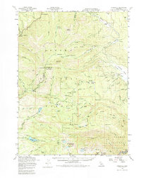
1958 Map of Jonesville
USGS Topo · Published 1984About this map
Jonesville and the rugged High Sierra landscape of the Lassen National Forest and Plumas National Forest define this mid-century survey. The region is marked by its mining history and remote settlements, including isolated spots like Dresser Camp and Robbers Roost. Transportation in the late 1950s relied on the historic Humboldt Road and various jeep trails, while the Western Pacific railroad tracks follow the river canyon near Belden.
Find a feature on this map
111 named features on this map. Tap any name to fly to it.
Don’t see what you’re looking for? This feature index may not catch every label — zoom into the map to look around manually.
Map Details
Editions of this 1958 Jonesville Map
4 editions found


Other maps of this area

1886 · Lassen Peak
USGS Topo · 1:250,000

1888 · Bidwell Bar
USGS Topo · 1:125,000

1891 · Bidwell Bar
USGS Topo · 1:125,000

1891 · Chico
USGS Topo · 1:125,000

1892 · Lassen Peak
USGS Topo · 1:250,000

1893 · Chico
USGS Topo · 1:125,000

1893 · Bidwell Bar
USGS Topo · 1:125,000

1894 · Lassen Peak
USGS Topo · 1:250,000

1895 · Bidwell Bar
USGS Topo · 1:125,000

1895 · Chico
USGS Topo · 1:125,000