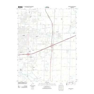
2011 Map of Joplin East
USGS Topo · Published 2011About this map
Joplin spreads across the western edge of this landscape, its residential and commercial growth intersecting with the quiet, creek-carved terrain of southwestern Missouri. The area is characterized by a high concentration of memorial grounds, including Ozark Memorial Park Cemetery and Forest Park Cemetery, which serve as significant genealogical anchors for the region. To the east and south, smaller incorporated areas and settlements like Duquesne, Duenweg, and Saginaw maintain distinct identities amid a network of drainage systems like Turkey Creek and Thurman Creek.
Find a feature on this map
83 named features on this map. Tap any name to fly to it.
Don’t see what you’re looking for? This feature index may not catch every label — zoom into the map to look around manually.
Map Details
Editions of this 2011 Joplin East Map
This is the sole edition of this map. No revisions or reprints were ever made.
Other maps of this area

1886 · Joplin
USGS Topo · 1:125,000

1886 · Carthage
USGS Topo · 1:125,000

1894 · Joplin
USGS Topo · 1:125,000

1894 · Carthage
USGS Topo · 1:125,000

1907 · Wyandotte
USGS Topo · 1:125,000

1909 · Wyandotte
USGS Topo · 1:125,000

1916 · Neosho
USGS Topo · 1:62,500

1947 · Joplin
USGS Topo · 1:250,000

1949 · Joplin
USGS Topo · 1:250,000

1949 · Racine
USGS Topo · 1:24,000