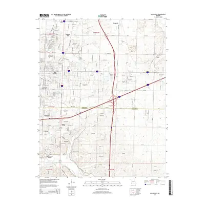
2015 Map of Joplin East
USGS Topo · Published 2015About this map
Missouri Southern State University serves as a central landmark in this 2015 layout, situated between the expanding residential areas of Oakland Park and Duquesne. The landscape is a dense network of suburban development and civic infrastructure, characterized by numerous large burial grounds such as Mount Hope Cemetery, Webb City Cemetery, and Ozark Memorial Park Cemetery. The transition between Jasper and Newton counties is marked by the southward flow of Thurman Creek and Shoal Creek, which cut through the lower portions of the map near Saginaw and Shoal Creek Estates. This modern survey illustrates the complex intersection of the Joplin metropolitan area, where established communities like Duenweg and Prosperity are linked by a modern highway system that bypasses the older town centers, reflecting the shift toward decentralized commercial hubs and residential growth in the early 21st century.
Find a feature on this map
84 named features on this map. Tap any name to fly to it.
Don’t see what you’re looking for? This feature index may not catch every label — zoom into the map to look around manually.
Map Details
Editions of this 2015 Joplin East Map
This is the sole edition of this map. No revisions or reprints were ever made.
Other maps of this area

1886 · Joplin
USGS Topo · 1:125,000

1886 · Carthage
USGS Topo · 1:125,000

1894 · Joplin
USGS Topo · 1:125,000

1894 · Carthage
USGS Topo · 1:125,000

1907 · Wyandotte
USGS Topo · 1:125,000

1909 · Wyandotte
USGS Topo · 1:125,000

1916 · Neosho
USGS Topo · 1:62,500

1947 · Joplin
USGS Topo · 1:250,000

1949 · Joplin
USGS Topo · 1:250,000

1949 · Racine
USGS Topo · 1:24,000