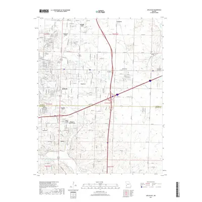
2017 Map of Joplin East
USGS Topo · Published 2017About this map
Joplin serves as the focal point for this eastern quadrant, where the sprawling campus of Missouri Southern State Univ bridges the residential and academic life of the region. The landscape transitions from the urban density of the city and Webb City into a network of smaller communities such as Oakland Park, Duquesne, and Duenweg. These settlements are interspersed with numerous historical burial grounds, including the large Mount Hope Cem and Ozark Memorial Park Cem, reflecting the area's long-established local heritage.
Find a feature on this map
56 named features on this map. Tap any name to fly to it.
Don’t see what you’re looking for? This feature index may not catch every label — zoom into the map to look around manually.
Map Details
Editions of this 2017 Joplin East Map
This is the sole edition of this map. No revisions or reprints were ever made.
Other maps of this area

1886 · Joplin
USGS Topo · 1:125,000

1886 · Carthage
USGS Topo · 1:125,000

1894 · Joplin
USGS Topo · 1:125,000

1894 · Carthage
USGS Topo · 1:125,000

1907 · Wyandotte
USGS Topo · 1:125,000

1909 · Wyandotte
USGS Topo · 1:125,000

1916 · Neosho
USGS Topo · 1:62,500

1947 · Joplin
USGS Topo · 1:250,000

1949 · Joplin
USGS Topo · 1:250,000

1949 · Racine
USGS Topo · 1:24,000