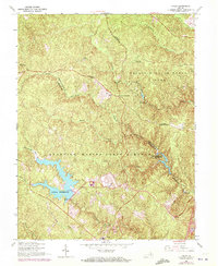
1966 Map of Joplin
USGS Topo · Published 1972About this map
Quantico Marine Corps Schools dominates the southern landscape of this Virginia survey, where the heavy forest cover is interrupted by the significant waters of Lunga Reservoir and Breckenridge Reservoir. The map illustrates a transition from the structured military grounds of Camp Barrett to the recreational and conservation lands of Prince William Forest Park. Small rural settlements like Joplin, Kopp, and Belfair Crossroads remain as points of civilian history amidst the expanding government and park boundaries.
Find a feature on this map
32 named features on this map. Tap any name to fly to it.
Don’t see what you’re looking for? This feature index may not catch every label — zoom into the map to look around manually.
Map Details
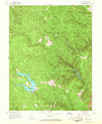
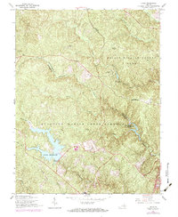
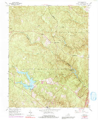
Editions of this 1966 Joplin Map
4 editions found
Other maps of this area

1887 · Spottsylvania
USGS Topo · 1:125,000

1889 · Fredericksburg
USGS Topo · 1:125,000

1890 · Mt. Vernon
USGS Topo · 1:125,000

1891 · Mt. Vernon
USGS Topo · 1:125,000

1892 · Fredericksburg
USGS Topo · 1:125,000

1892 · Spottsylvania
USGS Topo · 1:125,000

1894 · Warrenton
USGS Topo · 1:125,000

1894 · Fredericksburg
USGS Topo · 1:125,000

1894 · Mt. Vernon
USGS Topo · 1:125,000

1897 · Mt. Vernon
USGS Topo · 1:125,000