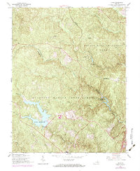
1966 Map of Joplin
USGS Topo · Published 1984About this map
Prince William Forest Park and the training grounds of the Quantico Marine Corps Schools dominate this mid-century landscape on the border of Prince William and Stafford counties. The map captures a transition period for the region, where the wooded headwaters of Quantico Creek and Chopawamsic Creek were increasingly managed for federal recreation and military instruction. Large water bodies like Lunga Reservoir and Breckenridge Reservoir serve as central landmarks amidst the dense forest cover.
Find a feature on this map
32 named features on this map. Tap any name to fly to it.
Don’t see what you’re looking for? This feature index may not catch every label — zoom into the map to look around manually.
Map Details
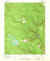
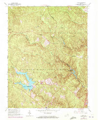
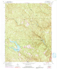
Editions of this 1966 Joplin Map
4 editions found
Other maps of this area

1887 · Spottsylvania
USGS Topo · 1:125,000

1889 · Fredericksburg
USGS Topo · 1:125,000

1890 · Mt. Vernon
USGS Topo · 1:125,000

1891 · Mt. Vernon
USGS Topo · 1:125,000

1892 · Fredericksburg
USGS Topo · 1:125,000

1892 · Spottsylvania
USGS Topo · 1:125,000

1894 · Warrenton
USGS Topo · 1:125,000

1894 · Fredericksburg
USGS Topo · 1:125,000

1894 · Mt. Vernon
USGS Topo · 1:125,000

1897 · Mt. Vernon
USGS Topo · 1:125,000