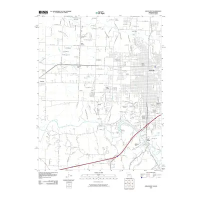
2010 Map of Joplin West
USGS Topo · Published 2010About this map
Shoal Creek meanders through the southern half of this landscape, defining a region of steep hollows and residential development south of Joplin. The waterway is punctuated by the Grand Falls Dam and Grand Falls, where Redings Mill and Cliff Village overlook the river bluffs. This 2010 survey records the intricate network of neighborhoods and cemeteries that surround the urban core, including West Joplin, Chitwood, and Lone Elm.
Find a feature on this map
111 named features on this map. Tap any name to fly to it.
Don’t see what you’re looking for? This feature index may not catch every label — zoom into the map to look around manually.
Map Details
Editions of this 2010 Joplin West Map
This is the sole edition of this map. No revisions or reprints were ever made.
Other maps of this area

1886 · Joplin
USGS Topo · 1:125,000

1886 · Carthage
USGS Topo · 1:125,000

1894 · Joplin
USGS Topo · 1:125,000

1894 · Carthage
USGS Topo · 1:125,000

1907 · Wyandotte
USGS Topo · 1:125,000

1909 · Wyandotte
USGS Topo · 1:125,000

1916 · Neosho
USGS Topo · 1:62,500

1947 · Joplin
USGS Topo · 1:250,000

1949 · Joplin
USGS Topo · 1:250,000

1949 · Racine
USGS Topo · 1:24,000