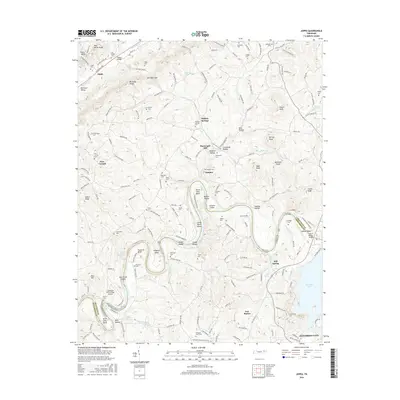
2016 Map of Joppa
USGS Topo · Published 2016About this map
Holston River meanders sharply through this landscape, creating a series of dramatic bends and shoals along the border of Grainger and Jefferson counties. The river's path is defined by distinctive landforms such as Horse Shoe Bend, Smoky Island, and Smoky Shoals, while the northern portion of the map is dominated by the Richland Knobs and the deeply recessed Poor Valley. This area is densely populated with family cemeteries and small rural settlements like Buffalo Springs and Tampico, indicating a long-established agricultural community where local genealogy is etched into the terrain. The influence of the river on infrastructure is evident in landmarks like the John K Shields Bridge and the Landing at River's Edge Airport. Small springs, including Indian Cave Spring and Sulphur Spring, dot the valleys, serving as vital natural resources for the dispersed homesteads and farms surrounding Joppa and Massengill Mill.
Find a feature on this map
183 named features on this map. Tap any name to fly to it.
Don’t see what you’re looking for? This feature index may not catch every label — zoom into the map to look around manually.
Map Details
Editions of this 2016 Joppa Map
This is the sole edition of this map. No revisions or reprints were ever made.
Other maps of this area

1883 · Morristown
USGS Topo · 1:125,000

1893 · Morristown
USGS Topo · 1:125,000

1895 · Morristown
USGS Topo · 1:125,000

1897 · Maynardville
USGS Topo · 1:125,000

1900 · Maynardville
USGS Topo · 1:125,000

1935 · Luttrell
USGS Topo · 1:24,000

1935 · Mascot
USGS Topo · 1:24,000

1935 · Tate Springs
USGS Topo · 1:48,000

1935 · Straw Plains
USGS Topo · 1:48,000

1935 · Joppa
USGS Topo · 1:24,000