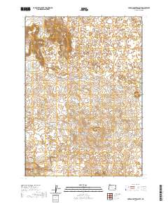
2020 Map of Jordan Craters South
USGS Topo · Published 2020About this map
Jordan Craters dominate this corner of Malheur County, where the landscape is defined by volcanic features and an intricate system of water management. The terrain is marked by distinct geological formations, including Biscuit Butte, Clarks Butte, and Lava Butte, which rise above the surrounding basin. This area represents a significant intersection of natural volcanic history and ranching infrastructure, evidenced by the numerous catchment points such as Saddle Butte Reservoir 2 and Lava Reservoir.
Find a feature on this map
19 named features on this map. Tap any name to fly to it.
Don’t see what you’re looking for? This feature index may not catch every label — zoom into the map to look around manually.
Map Details
Editions of this 2020 Jordan Craters South Map
This is the sole edition of this map. No revisions or reprints were ever made.
Other maps of this area

1955 · Jordan Valley
USGS Topo · 1:250,000

1955 · Boise
USGS Topo · 1:250,000

1957 · Jordan Valley
USGS Topo · 1:250,000

1958 · Boise
USGS Topo · 1:250,000

1958 · Jordan Valley
USGS Topo · 1:250,000

1962 · Boise
USGS Topo · 1:250,000

1969 · Jordan Craters South
USGS Topo · 1:24,000

1969 · Mc Cain Creek
USGS Topo · 1:24,000

1969 · Jordan Craters North
USGS Topo · 1:24,000

1969 · Cow Lakes
USGS Topo · 1:24,000