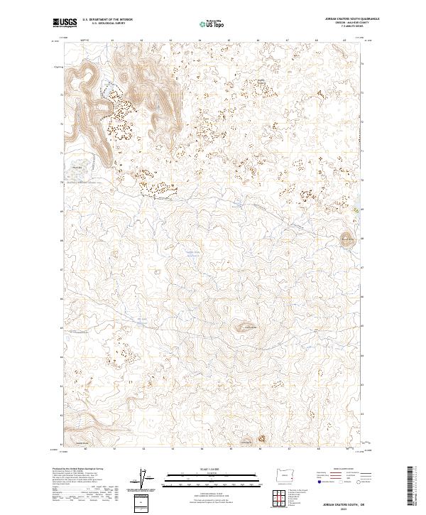
2023 Map of Jordan Craters South
USGS Topo · Published 2023About this map
Jordan Craters dominates this high desert landscape in Malheur County, revealing a complex volcanic geography defined by basaltic formations and arid water catchments. The presence of Crater Lake and Mud Lake at the northern edge, alongside the winding Crater Lake Rd, highlights the relationship between the area's rare surface water and its minimal infrastructure. Unlike the verdant valleys of the west, this region relies on an intentional network of catchments including Mud Lake Reservoir Number Two, Saddle Butte Reservoir 2, and Dry Lake Reservoir to manage seasonal runoff.
Find a feature on this map
19 named features on this map. Tap any name to fly to it.
Don’t see what you’re looking for? This feature index may not catch every label — zoom into the map to look around manually.
Map Details
Editions of this 2023 Jordan Craters South Map
This is the sole edition of this map. No revisions or reprints were ever made.
Other maps of this area

1955 · Jordan Valley
USGS Topo · 1:250,000

1955 · Boise
USGS Topo · 1:250,000

1957 · Jordan Valley
USGS Topo · 1:250,000

1958 · Boise
USGS Topo · 1:250,000

1958 · Jordan Valley
USGS Topo · 1:250,000

1962 · Boise
USGS Topo · 1:250,000

1969 · Jordan Craters South
USGS Topo · 1:24,000

1969 · Mc Cain Creek
USGS Topo · 1:24,000

1969 · Jordan Craters North
USGS Topo · 1:24,000

1969 · Cow Lakes
USGS Topo · 1:24,000