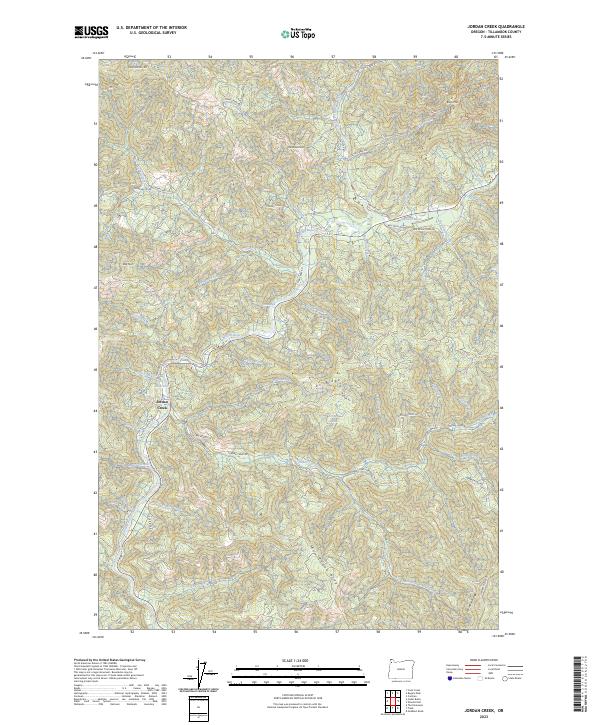
2023 Map of Jordan Creek
USGS Topo · Published 2023About this map
Jordan Creek serves as a central hub for this portion of Tillamook County, where the eponymous stream meets the Wilson River and Jordan Creek Rd. The landscape is defined by a dense network of watercourses and prominent topographic divides, including Ax Ridge and Fox Creek Ridge. These ridges separate various drainage basins, with numerous named creeks such as Lehman Creek, Buck Creek, and Luebke Creek feeding into the larger river systems.
Find a feature on this map
55 named features on this map. Tap any name to fly to it.
Don’t see what you’re looking for? This feature index may not catch every label — zoom into the map to look around manually.
Map Details
Editions of this 2023 Jordan Creek Map
This is the sole edition of this map. No revisions or reprints were ever made.
Other maps of this area

1937 · Enright
USGS Topo · 1:62,500

1941 · Timber
USGS Topo · 1:62,500

1941 · Enright
USGS Topo · 1:62,500

1942 · Ginger Peak
USGS Topo · 1:62,500

1942 · Fairdale
USGS Topo · 1:62,500

1948 · Vancouver
USGS Topo · 1:250,000

1950 · Vancouver
USGS Topo · 1:250,000

1950 · Vancouver
USGS Topo · 1:250,000

1955 · Blaine
USGS Topo · 1:62,500

1955 · Timber
USGS Topo · 1:62,500