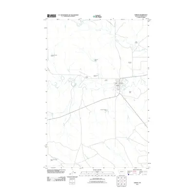
2011 Map of Jordan
USGS Topo · Published 2011About this map
Jordan stands as the primary hub of activity in this high plains landscape of Garfield County, Montana. The town center is densely detailed with civic landmarks including the Jordan Post Office, the Jordan Vol Fire Dept, and the expansive Garfield County Fairground. This 2011 survey reveals a settlement deeply connected to its ranching and agricultural roots, evidenced by the numerous water management features such as John Boy Number 2 Dam, Mister PP Dam, and Happy Jack Number 1 Dam that dot the surrounding drainages.
Find a feature on this map
20 named features on this map. Tap any name to fly to it.
Don’t see what you’re looking for? This feature index may not catch every label — zoom into the map to look around manually.
Map Details
Editions of this 2011 Jordan Map
This is the sole edition of this map. No revisions or reprints were ever made.
Other maps of this area

1954 · Jordan
USGS Topo · 1:250,000

1956 · Jordan
USGS Topo · 1:250,000

1958 · Jordan
USGS Topo · 1:250,000

1964 · Jordan
USGS Topo · 1:250,000

1964 · Jordan SE
USGS Topo · 1:24,000

1964 · Jordan NE
USGS Topo · 1:24,000

1964 · Jordan NW
USGS Topo · 1:24,000

1964 · Jordan
USGS Topo · 1:24,000

1965 · Kirby Ranch
USGS Topo · 1:24,000

1965 · Darby Buttes
USGS Topo · 1:24,000