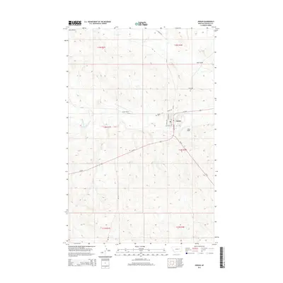
2014 Map of Jordan
USGS Topo · Published 2014About this map
Jordan serves as the focal point of this Garfield County landscape, situated at the junction of several regional routes including MT-200 and MT-59. The town grid is clearly defined by local thoroughfares such as Montana St and Jordan Ave, illustrating a centralized hub for this expansive ranching and prairie region. The surrounding terrain is marked by notable elevations like Pikes Peak and the Piney Buttes, with the drainage patterns of Big Dry Creek and Vail Cr cutting through the coulees. Local heritage is preserved at the Pioneer Cem and Greenridge Cem, while the Jordan Airport nearby highlights the area's reliance on air travel for connectivity across the Montana plains.
Find a feature on this map
26 named features on this map. Tap any name to fly to it.
Don’t see what you’re looking for? This feature index may not catch every label — zoom into the map to look around manually.
Map Details
Editions of this 2014 Jordan Map
This is the sole edition of this map. No revisions or reprints were ever made.
Other maps of this area

1954 · Jordan
USGS Topo · 1:250,000

1956 · Jordan
USGS Topo · 1:250,000

1958 · Jordan
USGS Topo · 1:250,000

1964 · Jordan
USGS Topo · 1:250,000

1964 · Jordan SE
USGS Topo · 1:24,000

1964 · Jordan NE
USGS Topo · 1:24,000

1964 · Jordan NW
USGS Topo · 1:24,000

1964 · Jordan
USGS Topo · 1:24,000

1965 · Kirby Ranch
USGS Topo · 1:24,000

1965 · Darby Buttes
USGS Topo · 1:24,000