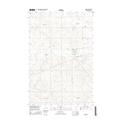
2017 Map of Jordan
USGS Topo · Published 2017About this map
Jordan stands as the central hub of this eastern Montana landscape, serving as the seat of Garfield County in this contemporary topographic record. The town's layout is clearly defined by its residential streets like Marguerite Ave and Leavitt Ave, while Jordan Ave and Montana St mark the local commercial and civic corridor. For family historians, the presence of both Pioneer Cem and Greenridge Cem provides essential points of reference for the region's heritage.
Find a feature on this map
24 named features on this map. Tap any name to fly to it.
Don’t see what you’re looking for? This feature index may not catch every label — zoom into the map to look around manually.
Map Details
Editions of this 2017 Jordan Map
This is the sole edition of this map. No revisions or reprints were ever made.
Other maps of this area

1954 · Jordan
USGS Topo · 1:250,000

1956 · Jordan
USGS Topo · 1:250,000

1958 · Jordan
USGS Topo · 1:250,000

1964 · Jordan
USGS Topo · 1:250,000

1964 · Jordan SE
USGS Topo · 1:24,000

1964 · Jordan NE
USGS Topo · 1:24,000

1964 · Jordan NW
USGS Topo · 1:24,000

1964 · Jordan
USGS Topo · 1:24,000

1965 · Kirby Ranch
USGS Topo · 1:24,000

1965 · Darby Buttes
USGS Topo · 1:24,000