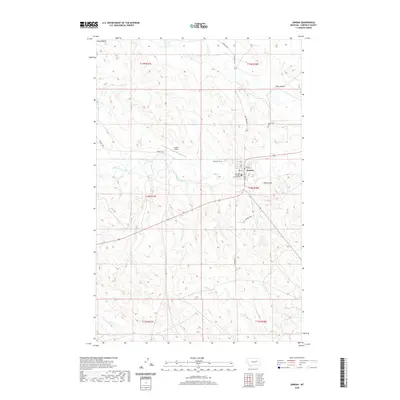
2020 Map of Jordan
USGS Topo · Published 2020About this map
Jordan serves as the focal point of this Eastern Montana landscape, situated at the junction of several critical regional routes. The town’s civic core is anchored by the Garfield County Courthouse, while its connection to the wider region is maintained via the Jordan Airport located just to the northwest. The terrain is defined by dramatic elevations and seasonal watercourses, including the prominent Piney Buttes in the northwest corner and Pikes Peak to the east. Water drainage patterns, such as the winding Big Dry Creek and Huff Coulee, illustrate the hydrological challenges of the high plains. Local history and genealogy are preserved at Greenridge Cem and Pioneer Cem, while a network of rural roads like Hell Creek Rd and Brusett Rd connect the town to the surrounding ranching sections of Garfield County.
Find a feature on this map
24 named features on this map. Tap any name to fly to it.
Don’t see what you’re looking for? This feature index may not catch every label — zoom into the map to look around manually.
Map Details
Editions of this 2020 Jordan Map
This is the sole edition of this map. No revisions or reprints were ever made.
Other maps of this area
1954 · Jordan
USGS Topo · 1:250,000
1956 · Jordan
USGS Topo · 1:250,000
1958 · Jordan
USGS Topo · 1:250,000
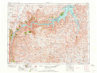
1964 · Jordan
USGS Topo · 1:250,000
1964 · Jordan SE
USGS Topo · 1:24,000
1964 · Jordan NE
USGS Topo · 1:24,000
1964 · Jordan NW
USGS Topo · 1:24,000
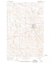
1964 · Jordan
USGS Topo · 1:24,000
1965 · Kirby Ranch
USGS Topo · 1:24,000
1965 · Darby Buttes
USGS Topo · 1:24,000