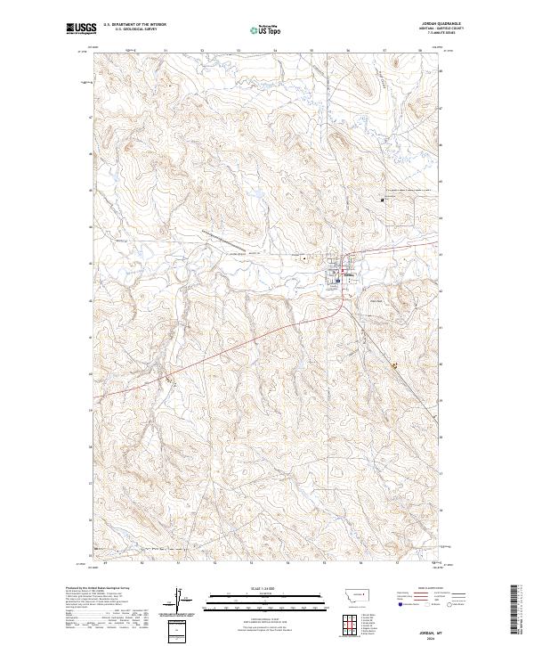
2024 Map of Jordan
USGS Topo · Published 2024About this map
Jordan serves as the focal point of this Eastern Montana landscape, situated at the junction of Big Dry Creek and several significant regional routes. As the seat of Garfield County, the town layout includes the Garfield County Courthouse and a dedicated Jordan Airport to the west. The surrounding terrain is characterized by dissected coulees and prominent high points like Pikes Peak, which overlooks the northern edge of the Charles M Russell National Wildlife Refuge.
Find a feature on this map
28 named features on this map. Tap any name to fly to it.
Don’t see what you’re looking for? This feature index may not catch every label — zoom into the map to look around manually.
Map Details
Editions of this 2024 Jordan Map
This is the sole edition of this map. No revisions or reprints were ever made.
Other maps of this area

1954 · Jordan
USGS Topo · 1:250,000

1956 · Jordan
USGS Topo · 1:250,000

1958 · Jordan
USGS Topo · 1:250,000

1964 · Jordan
USGS Topo · 1:250,000

1964 · Jordan SE
USGS Topo · 1:24,000

1964 · Jordan NE
USGS Topo · 1:24,000

1964 · Jordan NW
USGS Topo · 1:24,000

1964 · Jordan
USGS Topo · 1:24,000

1965 · Kirby Ranch
USGS Topo · 1:24,000

1965 · Darby Buttes
USGS Topo · 1:24,000