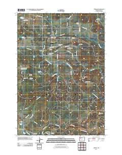
2011 Map of Jordan
USGS Topo · Published 2011About this map
Jordan and the surrounding Jordan Valley represent a landscape defined by its creek networks and rural institutions in the western foothills of the Cascades. Several family and community cemeteries, including Humphrey Cemetery, John Shelton Cemetery, and the Jordan Catholic Cemetery, anchor the local genealogy, reflecting generations of settlement along the banks of Thomas Creek and Jordan Creek.
Find a feature on this map
57 named features on this map. Tap any name to fly to it.
Don’t see what you’re looking for? This feature index may not catch every label — zoom into the map to look around manually.
Map Details
Editions of this 2011 Jordan Map
This is the sole edition of this map. No revisions or reprints were ever made.
Other maps of this area
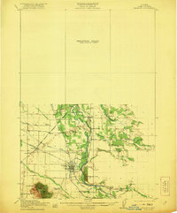
1921 · Lebanon
USGS Topo · 1:62,500
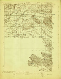
1922 · Lebanon
USGS Topo · 1:48,000
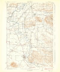
1924 · Lebanon
USGS Topo · 1:62,500
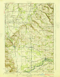
1925 · Stayton
USGS Topo · 1:62,500
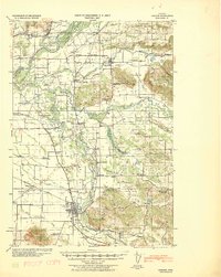
1940 · Lebanon
USGS Topo · 1:62,500
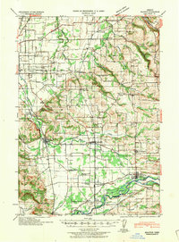
1941 · Stayton
USGS Topo · 1:62,500
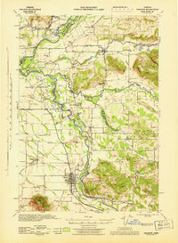
1944 · Lebanon
USGS Topo · 1:62,500
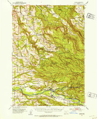
1951 · Lyons
USGS Topo · 1:62,500
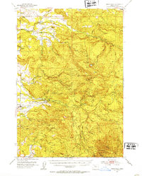
1951 · Snow Peak
USGS Topo · 1:62,500

1953 · Salem
USGS Topo · 1:250,000