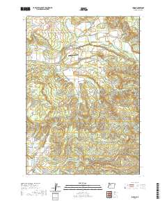
2020 Map of Jordan
USGS Topo · Published 2020About this map
Jordan and Jordan Valley sit along the northern reaches of this Linn County landscape, where the waters of Thomas Creek flow through a valley defined by small-scale agriculture and timber lands. The area is notable for its concentration of historic pioneer and community burial sites, including the John Shelton Cem, Humphrey Cem, and the Bilyeu Cem, the latter located near Hannah Bridge. To the south, the terrain rises toward Rogers Mtn before descending into Burgen Hollow and the drainage of the Roaring River. This 2020 survey illustrates a rural infrastructure of low-traffic crossings and family-named landmarks such as Larwood Bridge and the Our Lady of Lourdes Catholic Cem, reflecting a long-standing settlement pattern that persists even as modern land management practices, like the Tree Farm Rd network, shape the upland forests.
Find a feature on this map
61 named features on this map. Tap any name to fly to it.
Don’t see what you’re looking for? This feature index may not catch every label — zoom into the map to look around manually.
Map Details
Editions of this 2020 Jordan Map
This is the sole edition of this map. No revisions or reprints were ever made.
Other maps of this area

1921 · Lebanon
USGS Topo · 1:62,500

1922 · Lebanon
USGS Topo · 1:48,000

1924 · Lebanon
USGS Topo · 1:62,500

1925 · Stayton
USGS Topo · 1:62,500

1940 · Lebanon
USGS Topo · 1:62,500

1941 · Stayton
USGS Topo · 1:62,500

1944 · Lebanon
USGS Topo · 1:62,500

1951 · Lyons
USGS Topo · 1:62,500

1951 · Snow Peak
USGS Topo · 1:62,500

1953 · Salem
USGS Topo · 1:250,000