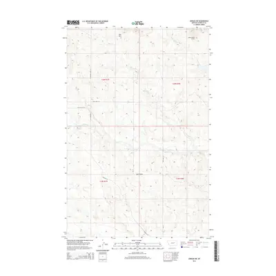
2014 Map of Jordan NW
USGS Topo · Published 2014About this map
White Horse Divide and Hogs Back anchor the high ground in this section of Garfield County, Montana, defining a landscape carved by ephemeral drainages. The area is characterized by a sparse network of ranch roads and trails, including the Sage Hen Trail Rd and Cottonwood Creek Rd, which navigate the complex coulees and ridges of the Missouri River breaks region.
Find a feature on this map
17 named features on this map. Tap any name to fly to it.
Don’t see what you’re looking for? This feature index may not catch every label — zoom into the map to look around manually.
Map Details
Editions of this 2014 Jordan NW Map
This is the sole edition of this map. No revisions or reprints were ever made.
Other maps of this area

1954 · Jordan
USGS Topo · 1:250,000

1956 · Jordan
USGS Topo · 1:250,000

1958 · Jordan
USGS Topo · 1:250,000

1958 · Maloney Hill
USGS Topo · 1:62,500

1964 · Jordan
USGS Topo · 1:250,000

1964 · Jordan SE
USGS Topo · 1:24,000

1964 · Jordan NE
USGS Topo · 1:24,000

1964 · Jordan NW
USGS Topo · 1:24,000

1964 · Jordan
USGS Topo · 1:24,000

1971 · Trumbo Ranch
USGS Topo · 1:24,000