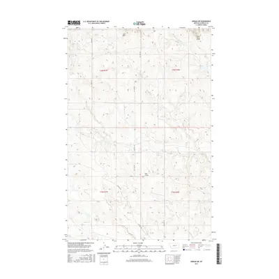
2017 Map of Jordan NW
USGS Topo · Published 2017About this map
White Horse Divide and the prominent Hogs Back ridge define the high ground of this Garfield County landscape. The area is characterized by a network of drainage systems including Huff Coulee and several seasonal watercourses such as Bear Cr and White Horse Cr. The land is segmented by the Public Land Survey System, as evidenced by the township and range boundaries of t20n r37e and t20n r38e.
Find a feature on this map
15 named features on this map. Tap any name to fly to it.
Don’t see what you’re looking for? This feature index may not catch every label — zoom into the map to look around manually.
Map Details
Editions of this 2017 Jordan NW Map
This is the sole edition of this map. No revisions or reprints were ever made.
Other maps of this area

1954 · Jordan
USGS Topo · 1:250,000

1956 · Jordan
USGS Topo · 1:250,000

1958 · Jordan
USGS Topo · 1:250,000

1958 · Maloney Hill
USGS Topo · 1:62,500

1964 · Jordan
USGS Topo · 1:250,000

1964 · Jordan SE
USGS Topo · 1:24,000

1964 · Jordan NE
USGS Topo · 1:24,000

1964 · Jordan NW
USGS Topo · 1:24,000

1964 · Jordan
USGS Topo · 1:24,000

1971 · Trumbo Ranch
USGS Topo · 1:24,000