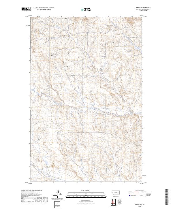
2024 Map of Jordan NW
USGS Topo · Published 2024About this map
Hell Creek Rd and Trumbo Rd trace a path through the dissected ranch lands of Garfield County, Montana, as they appeared in this recent U.S. Geological Survey update. This specific landscape is defined by its drainage network, with the northern reaches shaped by Bear Creek and the meandering White Horse Creek, while Frazier Creek cuts across the central section. The drainage patterns, including the deep-cut Huff Coulee and Vail Creek to the south, illustrate the erosion-carved topography of the high plains. While the map is sparse of named settlements, the presence of Stinbaugh Rd and established section lines within t20n r37e and t19n r38e reflect the enduring legacy of the Public Land Survey System in organizing this expansive rural territory. This topographic study is essential for understanding the contemporary hydrology and access routes of this remote Montana interior.
Find a feature on this map
13 named features on this map. Tap any name to fly to it.
Don’t see what you’re looking for? This feature index may not catch every label — zoom into the map to look around manually.
Map Details
Editions of this 2024 Jordan NW Map
This is the sole edition of this map. No revisions or reprints were ever made.
Other maps of this area

1954 · Jordan
USGS Topo · 1:250,000

1956 · Jordan
USGS Topo · 1:250,000

1958 · Jordan
USGS Topo · 1:250,000

1958 · Maloney Hill
USGS Topo · 1:62,500

1964 · Jordan
USGS Topo · 1:250,000

1964 · Jordan SE
USGS Topo · 1:24,000

1964 · Jordan NE
USGS Topo · 1:24,000

1964 · Jordan NW
USGS Topo · 1:24,000

1964 · Jordan
USGS Topo · 1:24,000

1971 · Trumbo Ranch
USGS Topo · 1:24,000