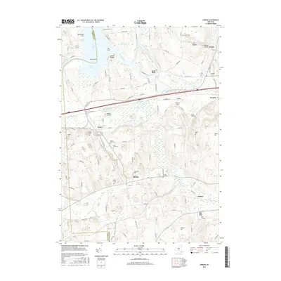
2016 Map of Jordan
USGS Topo · Published 2016About this map
The Seneca River winds through the northern reaches of this landscape, passing landmarks like Jacks Reef and Big Island as it flows toward Cross Lake. Further south, the villages of Jordan and Elbridge serve as historical anchors for the region, reflecting a settlement pattern deeply tied to early transportation corridors. The corridor of the Old Erie Canal remains a prominent feature, cutting through the center of the sheet near Cement Pond and McGraw Swamp.
Find a feature on this map
114 named features on this map. Tap any name to fly to it.
Don’t see what you’re looking for? This feature index may not catch every label — zoom into the map to look around manually.
Map Details
Editions of this 2016 Jordan Map
This is the sole edition of this map. No revisions or reprints were ever made.
Other maps of this area

1899 · Auburn
USGS Topo · 1:62,500

1899 · Skaneateles
USGS Topo · 1:62,500

1900 · Baldwinsville
USGS Topo · 1:62,500

1902 · Skaneateles
USGS Topo · 1:62,500

1902 · Weedsport
USGS Topo · 1:62,500

1902 · Auburn
USGS Topo · 1:62,500

1943 · Jordan
USGS Topo · 1:31,680

1943 · Lysander
USGS Topo · 1:31,680

1943 · Cato
USGS Topo · 1:31,680

1943 · Weedsport
USGS Topo · 1:31,680