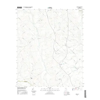
2017 Map of Jordan
USGS Topo · Published 2017About this map
The Jordan settlement serves as a central point in this rural Wheeler County landscape, situated where S State Rte 126 meets local roads near Stewart Pond. The terrain is defined by the winding paths of Alligator Creek and Crooked Cr, leading south toward the Little Ocmulgee River and north to the Oconee River. This 2017 survey reflects a deeply established rural community, evidenced by numerous family and community burial grounds including Browning Cem, Starlight Cem, and Livingston Cem.
Find a feature on this map
76 named features on this map. Tap any name to fly to it.
Don’t see what you’re looking for? This feature index may not catch every label — zoom into the map to look around manually.
Map Details
Editions of this 2017 Jordan Map
This is the sole edition of this map. No revisions or reprints were ever made.
Other maps of this area

1953 · Waycross
USGS Topo · 1:250,000

1957 · Macon
USGS Topo · 1:250,000

1958 · Macon
USGS Topo · 1:250,000

1958 · Waycross
USGS Topo · 1:250,000

1964 · Macon
USGS Topo · 1:250,000

1970 · Scotland
USGS Topo · 1:24,000

1970 · Glenwood
USGS Topo · 1:24,000

1970 · Alamo
USGS Topo · 1:24,000

1970 · Mount Vernon
USGS Topo · 1:24,000

1970 · Uvalda
USGS Topo · 1:24,000