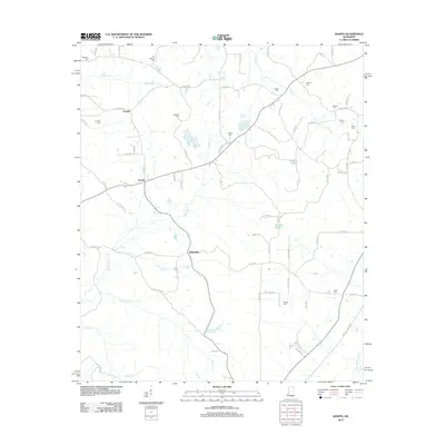
2012 Map of Joseph
USGS Topo · Published 2012About this map
Bolatusha and the surrounding rural communities of Joseph and Zemuly form the heart of this landscape in central Mississippi. The map reveals a network of county roads that stitch together small-scale agricultural holdings and family homesteads across a terrain defined by subtle watercourses. The drainage of Bolatusha Cr and Landrum Cr shapes the topography, eventually leading toward the Yockanookany River at the southeastern edge of the quadrangle.
Find a feature on this map
77 named features on this map. Tap any name to fly to it.
Don’t see what you’re looking for? This feature index may not catch every label — zoom into the map to look around manually.
Map Details
Editions of this 2012 Joseph Map
This is the sole edition of this map. No revisions or reprints were ever made.
Other maps of this area

1953 · Meridian
USGS Topo · 1:250,000

1953 · West Point
USGS Topo · 1:250,000

1957 · Meridian
USGS Topo · 1:250,000

1958 · West Point
USGS Topo · 1:250,000
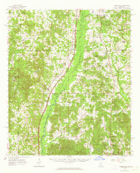
1962 · Thomastown
USGS Topo · 1:62,500

1963 · West Point
USGS Topo · 1:250,000
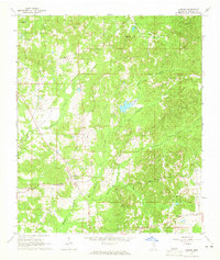
1964 · Camden
USGS Topo · 1:24,000
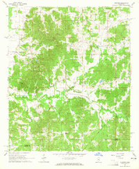
1964 · Newport
USGS Topo · 1:24,000
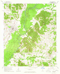
1964 · Durant
USGS Topo · 1:24,000
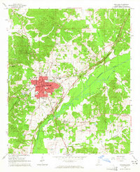
1964 · Kosciusko
USGS Topo · 1:24,000