
1964 Map of Camden
USGS Topo · Published 1965About this map
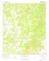
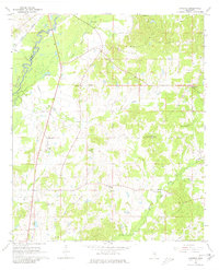
Camden serves as the focal point for this mid-century survey of northern Madison County, Mississippi, where a network of rural churches and schools defines the local social geography. The landscape is characterized by a dense system of waterways including Hohuck Creek, Watermill Creek, and Kentuctah Creek, which drain the varied terrain. Of particular historical significance is the Old Treaty Boundary cutting through the center of the sheet, a legal relic of early land divisions and Indigenous cessions that continued to shape property lines and surveying long after its initial establishment.
Find a feature on this map
28 named features on this map. Tap any name to fly to it.
Don’t see what you’re looking for? This feature index may not catch every label — zoom into the map to look around manually.
Map Details
Editions of this 1964 Camden Map
3 editions found
Other maps of this area

1953 · Meridian
USGS Topo · 1:250,000

1957 · Meridian
USGS Topo · 1:250,000

1960 · Sharon
USGS Topo · 1:62,500

1961 · Carthage
USGS Topo · 1:62,500

1962 · Thomastown
USGS Topo · 1:62,500

1964 · Newport
USGS Topo · 1:24,000
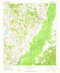
1964 · Goodman
USGS Topo · 1:24,000

1965 · Meridian
USGS Topo · 1:250,000
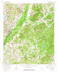
1966 · Goodman
USGS Topo · 1:62,500

1984 · Carthage
USGS Topo · 1:100,000