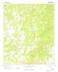
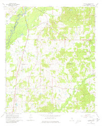
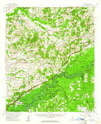
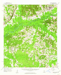
1964 Map of Camden
USGS Topo · Published 1976About this map
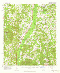
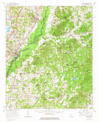
The Old Indian Treaty Boundary bisects this portion of Madison County, marking a significant historical line across the landscape. Near the settlement of Camden, the rural community is centered around several institutions, including the Camden Sch and Murphy Chapel. Further south, the Velma Jackson High Sch serves the region, while the small community of Revive sits near the banks of Mansell Creek.
Find a feature on this map
26 named features on this map. Tap any name to fly to it.
Don’t see what you’re looking for? This feature index may not catch every label — zoom into the map to look around manually.
Map Details
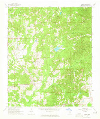
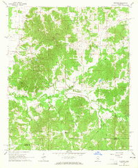
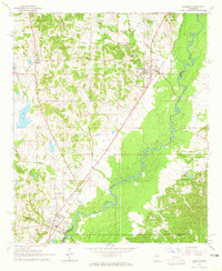
Editions of this 1964 Camden Map
3 editions found
Other maps of this area

1953 · Meridian
USGS Topo · 1:250,000

1957 · Meridian
USGS Topo · 1:250,000
1960 · Sharon
USGS Topo · 1:62,500
1961 · Carthage
USGS Topo · 1:62,500
1962 · Thomastown
USGS Topo · 1:62,500
1964 · Camden
USGS Topo · 1:24,000
1964 · Newport
USGS Topo · 1:24,000
1964 · Goodman
USGS Topo · 1:24,000

1965 · Meridian
USGS Topo · 1:250,000
1966 · Goodman
USGS Topo · 1:62,500