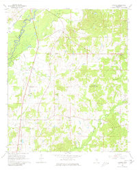
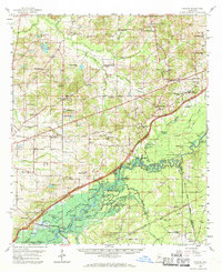
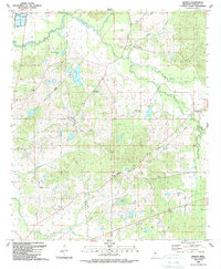
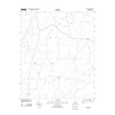
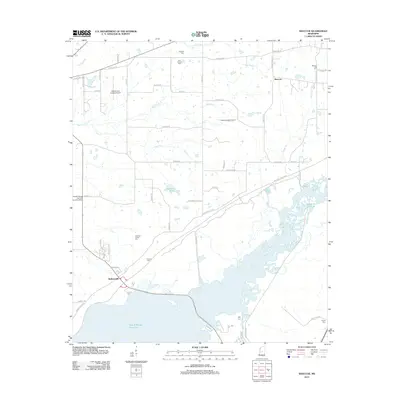
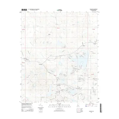
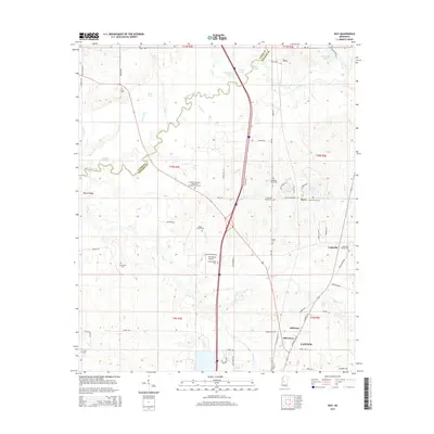
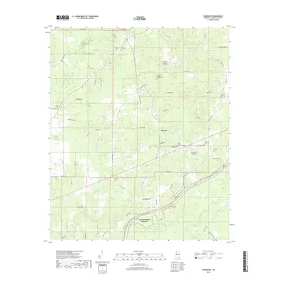
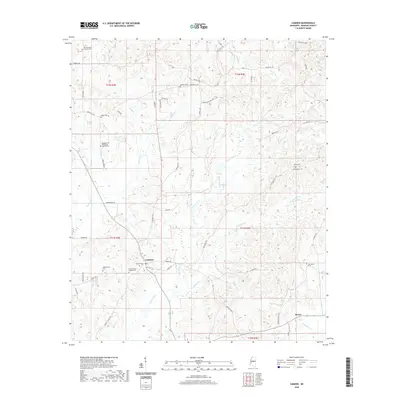
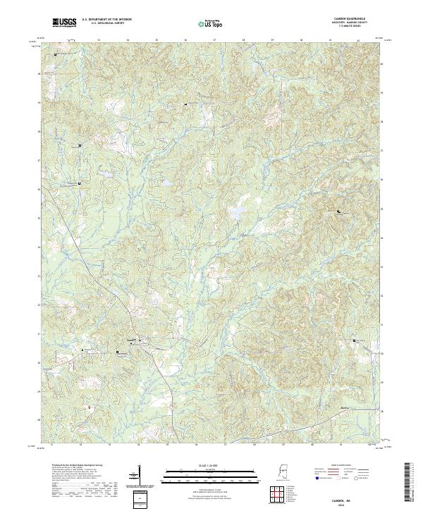
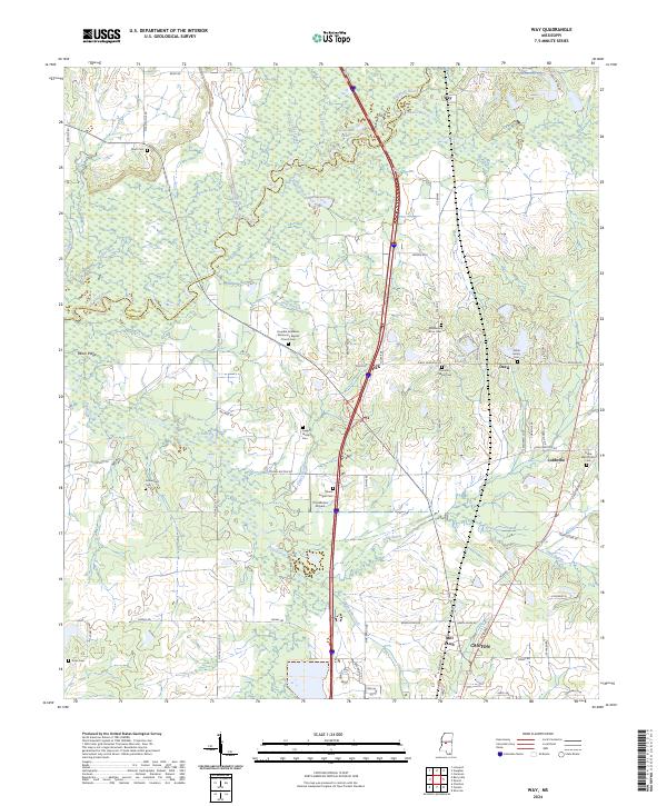
1964 Map of Camden
USGS Topo · Published 1981About this map
The Big Black River serves as a natural boundary between Yazoo Co and Madison Co in this mid-century portrait of Mississippi’s rural interior. The Illinois Central railroad cuts through the northwestern corner, passing through a landscape defined by meandering creeks like Loves Creek and Hagin Creek. This area is notable for its dense network of community centers, including Cameron and Loring, which appear here as established nodes of local life connected by unimproved roads and the distinctive Old Hobuck Grade.
Find a feature on this map
32 named features on this map. Tap any name to fly to it.
Don’t see what you’re looking for? This feature index may not catch every label — zoom into the map to look around manually.
Map Details
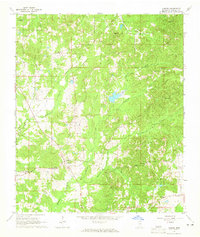
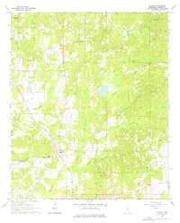
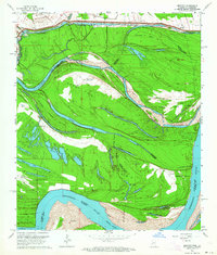
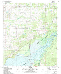
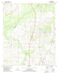
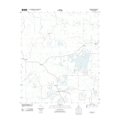
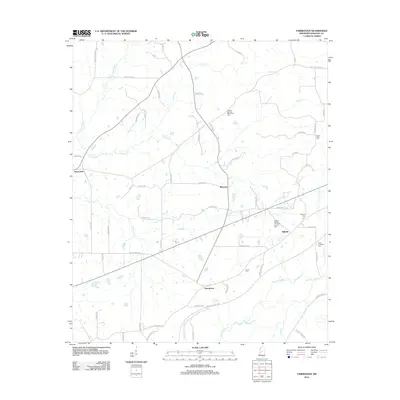
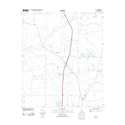
Editions of this 1964 Camden Map
3 editions found
Historical Maps of Revive Through Time
44 maps found
1939 Alsatia
Madison County, MS
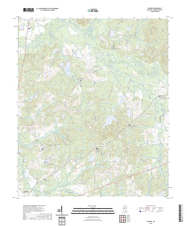
1960 Sharon
Madison County, MS
1963 Bedford
Madison County, MS
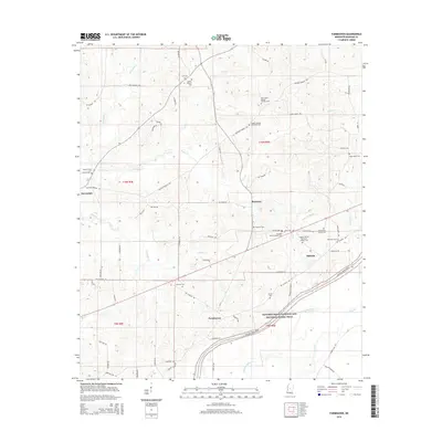
1964 Camden
Madison County, MS
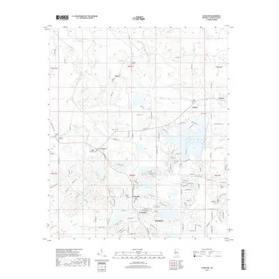
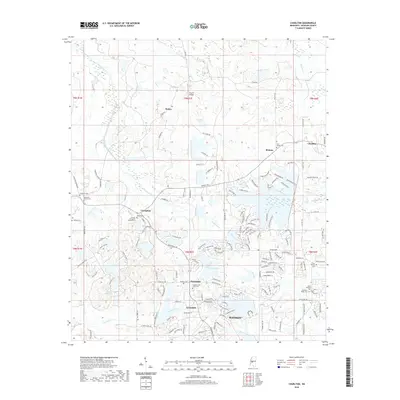
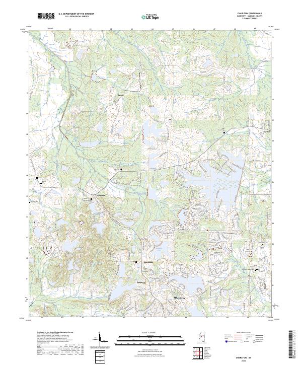
1988 Charlton
Madison County, MS
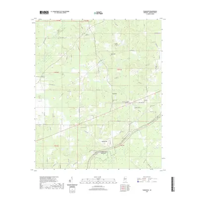
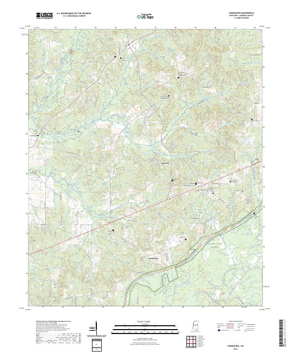
1988 Farmhaven
Madison County, MS
1988 Sharon
Madison County, MS
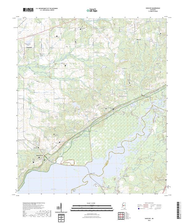
1989 Shoccoe
Madison County, MS
1989 Way
Madison County, MS
2012 Camden
Madison County, MS
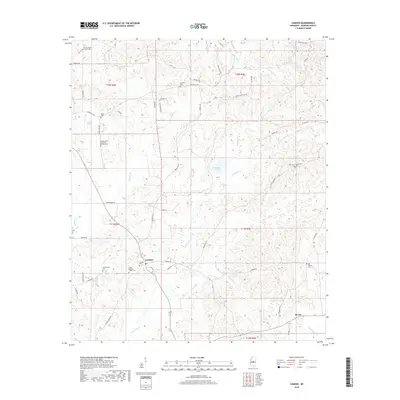
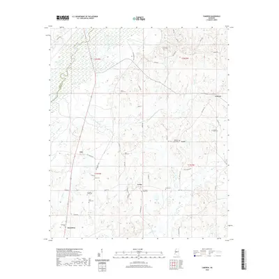
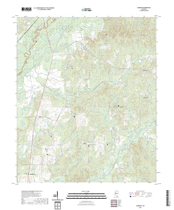
2012 Cameron
Madison County, MS
2012 Charlton
Madison County, MS
2012 Farmhaven
Madison County, MS
2012 Sharon
Madison County, MS
2012 Shoccoe
Madison County, MS
2012 Way
Madison County, MS
2015 Camden
Madison County, MS
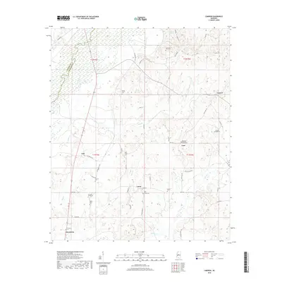
2015 Cameron
Madison County, MS
2015 Charlton
Madison County, MS
2015 Farmhaven
Madison County, MS
2015 Sharon
Madison County, MS
2015 Shoccoe
Madison County, MS
2015 Way
Madison County, MS
2018 Camden
Madison County, MS
2018 Cameron
Madison County, MS
2018 Charlton
Madison County, MS
2018 Farmhaven
Madison County, MS
2018 Sharon
Madison County, MS
2018 Shoccoe
Madison County, MS
2018 Way
Madison County, MS
2020 Camden
Madison County, MS
2020 Cameron
Madison County, MS
2020 Charlton
Madison County, MS
2020 Farmhaven
Madison County, MS
2020 Sharon
Madison County, MS

2020 Shoccoe
Madison County, MS
2020 Way
Madison County, MS
2024 Camden
Madison County, MS
2024 Cameron
Madison County, MS
2024 Charlton
Madison County, MS
2024 Farmhaven
Madison County, MS
2024 Sharon
Madison County, MS
2024 Shoccoe
Madison County, MS
2024 Way
Madison County, MS