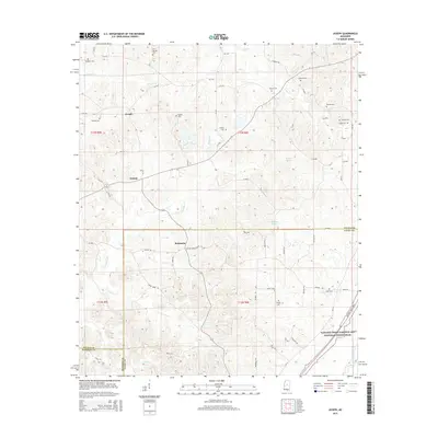
2015 Map of Joseph
USGS Topo · Published 2015About this map
Bolatusha and the surrounding rural landscapes of Leake and Attala Counties are defined by a network of family cemeteries and winding creeks. This part of central Mississippi, captured in the mid-2010s, remains largely pastoral, with small communities like Joseph and Zemuly linked by a complex grid of county roads. The terrain is bisected by numerous waterways including Horton Cr, Bolatusha Cr, and Long Cr, which flow through the undulating timberlands and agricultural plots.
Find a feature on this map
79 named features on this map. Tap any name to fly to it.
Don’t see what you’re looking for? This feature index may not catch every label — zoom into the map to look around manually.
Map Details
Editions of this 2015 Joseph Map
This is the sole edition of this map. No revisions or reprints were ever made.
Other maps of this area

1953 · Meridian
USGS Topo · 1:250,000

1953 · West Point
USGS Topo · 1:250,000

1957 · Meridian
USGS Topo · 1:250,000

1958 · West Point
USGS Topo · 1:250,000

1962 · Thomastown
USGS Topo · 1:62,500

1963 · West Point
USGS Topo · 1:250,000

1964 · Camden
USGS Topo · 1:24,000

1964 · Newport
USGS Topo · 1:24,000
1964 · Durant
USGS Topo · 1:24,000

1964 · Kosciusko
USGS Topo · 1:24,000