
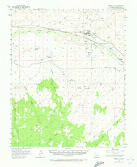
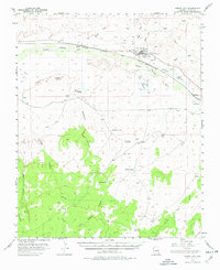
1955 Map of Joseph City
USGS Topo · Published 1958About this map
Joseph City serves as the primary hub of activity on this mid-century survey, situated along the vital Atchison Topeka And Santa Fe railway and the historic Route 66. The settlement pattern is defined by its proximity to the Little Colorado River, where the Joseph City Ditch and a significant levee system indicate a landscape managed for irrigation and flood control. Near the town center, The Old Fort Historical Monument and a local Cemetery provide important touchstones for genealogical and local history research.
Find a feature on this map
28 named features on this map. Tap any name to fly to it.
Don’t see what you’re looking for? This feature index may not catch every label — zoom into the map to look around manually.
Map Details
Editions of this 1955 Joseph City Map
3 editions found
Other maps of this area

1883 · Tusayan
USGS Topo · 1:250,000

1886 · Tusayan
USGS Topo · 1:250,000

1886 · Holbrook
USGS Topo · 1:250,000

1893 · Holbrook
USGS Topo · 1:250,000

1947 · Flagstaff
USGS Topo · 1:250,000

1954 · Winslow
USGS Topo · 1:62,500

1954 · Winslow 4 SE
USGS Topo · 1:24,000

1954 · Flagstaff
USGS Topo · 1:250,000

1954 · Holbrook
USGS Topo · 1:250,000

1955 · Mal Pais Springs 3 SW
USGS Topo · 1:24,000