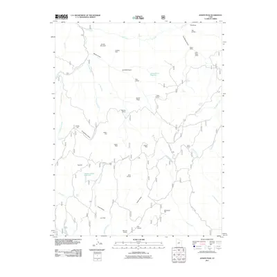
2011 Map of Joseph Peak
USGS Topo · Published 2011About this map
Joseph Peak and Middle Mountain dominate this central Utah landscape, defining a network of high ridges and deep drainages. In this early 21st-century survey, the high-altitude terrain is marked by numerous hollows and peaks, including Lion Peak and Indian Peak, which overlook a series of water management sites such as Chokecherry Reservoir and the Gardner Hollow Reservoirs. These features suggest a landscape managed for seasonal grazing and water retention in an otherwise arid region.
Find a feature on this map
53 named features on this map. Tap any name to fly to it.
Don’t see what you’re looking for? This feature index may not catch every label — zoom into the map to look around manually.
Map Details
Editions of this 2011 Joseph Peak Map
This is the sole edition of this map. No revisions or reprints were ever made.
Other maps of this area

1885 · Beaver
USGS Topo · 1:250,000

1932 · Sevier
USGS Topo · 1:62,500

1935 · Sevier
USGS Topo · 1:62,500

1940 · Monroe
USGS Topo · 1:62,500

1944 · Monroe
USGS Topo · 1:62,500

1953 · Richfield
USGS Topo · 1:250,000

1958 · Richfield
USGS Topo · 1:250,000

1961 · Richfield
USGS Topo · 1:62,500

1962 · Fillmore
USGS Topo · 1:62,500
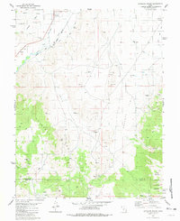
1980 · Antelope Range
USGS Topo · 1:24,000