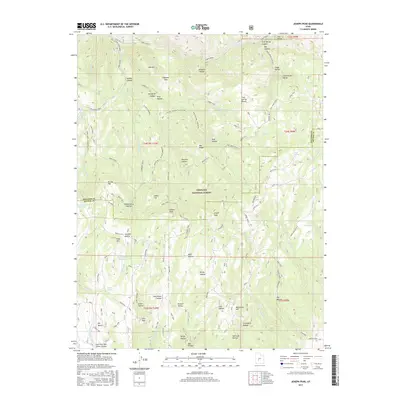
2017 Map of Joseph Peak
USGS Topo · Published 2017About this map
Joseph Peak and the surrounding high country of the Fishlake National Forest dominate this terrain on the border of Millard and Sevier Counties. The landscape is defined by the high elevations of the Pahvant Range, with drainage systems such as Corn Creek and Cummings Cr cutting through deep canyons and hollows. Water management is evident through the presence of the Chokecherry Reservoir and the Gardner Hollow Reservoirs, while family or local names are preserved in features like Sam Stowe Canyon and Lewis Hollow. The map reveals a complex network of forest routes and trails, including the Paiute (D-1) and Joseph Road, which navigate between prominent summits like Indian Peak and Lion Peak. These features suggest a history of resource management and recreational access within the protected federal lands of the southern Utah interior.
Find a feature on this map
88 named features on this map. Tap any name to fly to it.
Don’t see what you’re looking for? This feature index may not catch every label — zoom into the map to look around manually.
Map Details
Editions of this 2017 Joseph Peak Map
This is the sole edition of this map. No revisions or reprints were ever made.
Other maps of this area

1885 · Beaver
USGS Topo · 1:250,000

1932 · Sevier
USGS Topo · 1:62,500

1935 · Sevier
USGS Topo · 1:62,500

1940 · Monroe
USGS Topo · 1:62,500

1944 · Monroe
USGS Topo · 1:62,500

1953 · Richfield
USGS Topo · 1:250,000

1958 · Richfield
USGS Topo · 1:250,000

1961 · Richfield
USGS Topo · 1:62,500

1962 · Fillmore
USGS Topo · 1:62,500
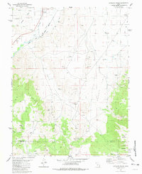
1980 · Antelope Range
USGS Topo · 1:24,000