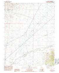
1983 Map of Joshua
USGS Topo · Published 1985About this map
Vanpah Valley and the eastern slopes of the New York Mountains dominate this early 1980s landscape in San Bernardino County. The region is marked by an extensive network of ephemeral drainage systems, including Sand Wash and several Sand Washes, illustrating the arid hydrology of the California desert. The settlement of Joshua sits at the base of the mountain range, serving as a focal point near where Steel Tower Power Lines and a series of Levees cut across the alluvial plains.
Find a feature on this map
21 named features on this map. Tap any name to fly to it.
Don’t see what you’re looking for? This feature index may not catch every label — zoom into the map to look around manually.
Map Details
Editions of this 1983 Joshua Map
2 editions found
Other maps of this area

1910 · Ivanpah
USGS Topo · 1:250,000

1912 · Ivanpah
USGS Topo · 1:250,000

1942 · Ivanpah
USGS Topo · 1:250,000

1947 · Kingman
USGS Topo · 1:250,000

1948 · Kingman
USGS Topo · 1:250,000

1954 · Kingman
USGS Topo · 1:250,000

1955 · Kingman
USGS Topo · 1:250,000

1955 · Mescal Range
USGS Topo · 1:62,500

1955 · Mid Hills
USGS Topo · 1:62,500

1955 · Kelso
USGS Topo · 1:62,500