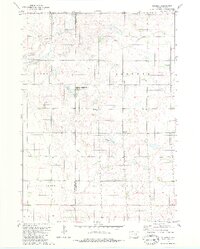
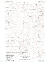
1979 Map of Joubert
USGS Topo · Published 1980About this map
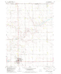
Joubert serves as the small focal point of this rural prairie landscape on the border of Aurora and Douglas counties. The area is defined by a systematic agricultural grid and significant water management features, including the Meadow Drain and Sluiter Drain which channel water across the plains. Local civic life is anchored by the Clark-Joubert Sch and a local Townhall, reflecting the decentralized settlement patterns common in late 20th-century South Dakota.
Find a feature on this map
19 named features on this map. Tap any name to fly to it.
Don’t see what you’re looking for? This feature index may not catch every label — zoom into the map to look around manually.
Map Details
Editions of this 1979 Joubert Map
This is the sole edition of this map. No revisions or reprints were ever made.
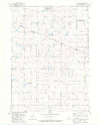
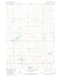
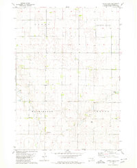
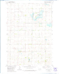
Other maps of this area

1955 · Mitchell
USGS Topo · 1:250,000

1959 · Mitchell
USGS Topo · 1:250,000
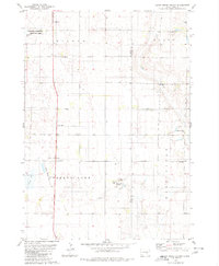
1979 · Cedar Grove Colony
USGS Topo · 1:24,000
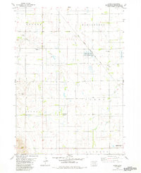
1979 · Bovee
USGS Topo · 1:24,000
1979 · Geddes SE
USGS Topo · 1:24,000
1979 · Geddes
USGS Topo · 1:24,000
1979 · New Holland
USGS Topo · 1:24,000
1979 · Laffey Lake
USGS Topo · 1:24,000
1979 · Aurora Center
USGS Topo · 1:24,000
1979 · Platte
USGS Topo · 1:24,000
Featured Places
- Joubert, Joubert Township
- Center Township, SD
- Washington Township, SD
- Joubert Township, SD
- Darlington Township, SD