
1979 Map of New Holland
USGS Topo · Published 1980About this map
New Holland and Harrison serve as the primary social and economic hubs of this agricultural landscape in Douglas County. The late-1970s terrain is marked by a complex network of conservation sites, including the National Waterfowl Production Area and several smaller National Waterfowl Production Areas that punctuate the prairie. This environmental focus is balanced by an established rural infrastructure of family-named institutions and essential community markers. Local life centers around the Ebenezer Ch and rural education centers like Markus Sch and Beukelman Sch. Water management is evident through the Garden Valley Ditch and Meadow Drain, reflecting the engineering required to sustain farming in the region. Notable landmarks for genealogical research include both the New Holland Cem and Harrison Cem, while the New Holland Lake provides a distinct natural focal point amidst the surrounding townships.
Find a feature on this map
18 named features on this map. Tap any name to fly to it.
Don’t see what you’re looking for? This feature index may not catch every label — zoom into the map to look around manually.
Map Details
Editions of this 1979 New Holland Map
This is the sole edition of this map. No revisions or reprints were ever made.
Other maps of this area

1899 · Mitchell
USGS Topo · 1:125,000

1955 · Mitchell
USGS Topo · 1:250,000

1959 · Mitchell
USGS Topo · 1:250,000

1979 · Geddes SE
USGS Topo · 1:24,000
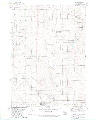
1979 · Geddes
USGS Topo · 1:24,000

1979 · Laffey Lake
USGS Topo · 1:24,000

1979 · Aurora Center
USGS Topo · 1:24,000

1979 · Joubert
USGS Topo · 1:24,000
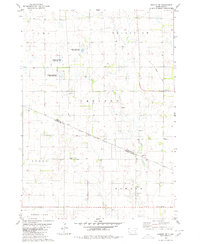
1979 · Armour SW
USGS Topo · 1:24,000

1980 · Stickney
USGS Topo · 1:24,000