
1979 Map of Geddes SE
USGS Topo · Published 1980About this map
The Yankton Indian Reservation Boundary cuts diagonally through this rural landscape, marking a significant historical and jurisdictional line between the townships of Clark and Chester. This agricultural area in South Dakota is defined by a scattering of small prairie lakes and wetlands, several of which are protected within the National Waterfowl Production Area. The distribution of these water bodies, such as Goose Lake, illustrates the natural drainage patterns of the region's undulating plains. Local community life is anchored by small civic and religious sites, including the Townhall in Moore township and cemeteries like St Paul Cem and Cohee Cem. This late 1970s survey captures a moment when the section-line road network was firmly established, facilitating transport between the scattered farmsteads and local landmarks like the Radio Tower in Iowa township.
Find a feature on this map
13 named features on this map. Tap any name to fly to it.
Don’t see what you’re looking for? This feature index may not catch every label — zoom into the map to look around manually.
Map Details
Editions of this 1979 Geddes SE Map
This is the sole edition of this map. No revisions or reprints were ever made.
Other maps of this area

1955 · Mitchell
USGS Topo · 1:250,000

1959 · Mitchell
USGS Topo · 1:250,000

1964 · Ravinia
USGS Topo · 1:24,000

1964 · Lake Andes NW
USGS Topo · 1:24,000

1964 · Lake Andes
USGS Topo · 1:24,000

1977 · Lake Andes NW
USGS Topo · 1:24,000
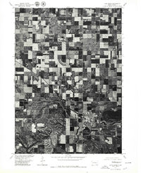
1977 · Lake Andes
USGS Topo · 1:24,000
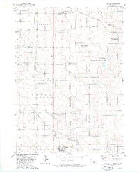
1979 · Geddes
USGS Topo · 1:24,000

1979 · New Holland
USGS Topo · 1:24,000

1979 · Joubert
USGS Topo · 1:24,000